


14,3 km | 18,4 km-effort
Morocco: Ontdek de 195 beste wandel- en fietstochten. Onze catalogus die helemaal is samengesteld door wandelaars en toerfietsers staat vol prachtige landschappen die erop wachten om verkend te worden. Download deze routes in SityTrail, onze gratis gps wandel-app beschikbaar op Android en iOS.

Stappen


Stappen
Stappen
Stappen
Stappen
Stappen
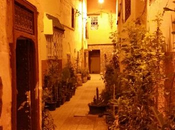
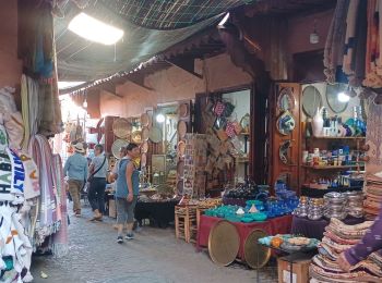
• Balade dans la medina, place El Hedim, souk, ...
Vliegtuig
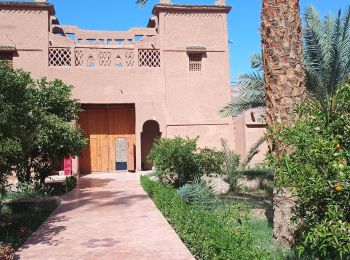
Auto
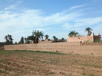
Auto
Stappen
Stappen
Stappen
Stappen
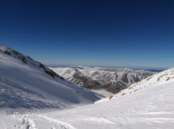
Ski randonnée
Stappen
• Magnifique. Retour 23h15.
Stappen
• Plus d'info sur: www.voyagestrekking.com
Stappen
• Plus d'info sur: www.voyagestrekking.com
Stappen
• Plus d'info sur: www.voyagestrekking.com
Stappen
• Plus d'info sur: www.voyagestrekking.com
Stappen
• Plus d'info sur: www.voyagestrekking.com
20 tochten weergegeven op 195
Gratisgps-wandelapplicatie
 SityTrail
IGN / Geografische instituten
SityTrail World
De wereld gaat voor u open