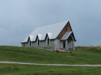
Lecco, Lecco: Top van de beste wandelroutes, trajecten, tochten en wandelingen

Lecco: Ontdek de beste tochten: 8 te voet. Al deze tochten, trajecten, routes en outdoor activiteiten zijn beschikbaar in onze SityTrail-apps voor smartphones en tablets.


De beste trajecten (8)
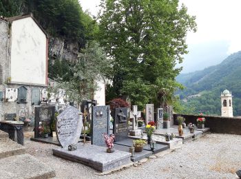
Tocht Te voet Lecco - Sentiero 2 della Val Calolden - Photo
Te voet 3.246
Km
GUIDE+

Te voet

Gemakkelijk
Lecco, Lombardije, Lecco, Italy
3,2 km | 11,2 km-effort
2h 32min
793 m
0 m
Neen
SityTrail - itinéraires balisés pédestres

• Trail created by S.E.L.. Symbol: red-white-yellow bars with the black text "2" on the white bar
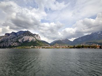
Tocht Te voet Lecco - Percorso Giorgio Combi - Photo
Te voet 5.374
Km
GUIDE+

Te voet

Gemakkelijk
Lecco, Lombardije, Lecco, Italy
5,4 km | 9,4 km-effort
2h 7min
321 m
235 m
Neen
SityTrail - itinéraires balisés pédestres

• Trail created by APE Lecco. Symbol: yellow markers and yellow metal plates with text "PERCORSO GIORGIO COMBI"
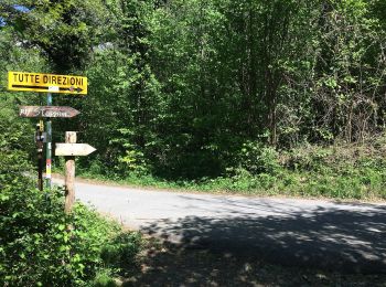
Tocht Te voet Lecco - Sentiero 18 (della Corna Cammello): Versasio - Piani d'Erna - Photo
Te voet 3.111
Km
GUIDE+

Te voet

Gemakkelijk
Lecco, Lombardije, Lecco, Italy
3,1 km | 9,8 km-effort
2h 13min
670 m
4 m
Neen
SityTrail - itinéraires balisés pédestres

• Trail created by S.E.L.. Symbol: red-white-yellow vertical bars with the black text "18"; sometimes a red square wit...
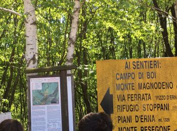
Tocht Te voet Lecco - Sentiero Rotary Lecco - Photo
Te voet 9.248
Km
GUIDE+

Te voet

Gemakkelijk
Lecco, Lombardije, Lecco, Italy
9,2 km | 14 km-effort
3h 11min
286 m
580 m
Neen
SityTrail - itinéraires balisés pédestres

• Trail created by Rotary Lecco. Symbol: cogwheel with text "ROTARY INTERNATIONAL", trail paint blaze red-white stripes
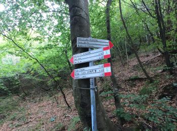
Tocht Te voet Lecco - Sentiero 1: Malnago - Rifugio Azzoni - Photo
Te voet 4.276
Km
GUIDE+

Te voet

Gemakkelijk
Lecco, Lombardije, Lecco, Italy
4,3 km | 11,4 km-effort
2h 34min
708 m
0 m
Neen
SityTrail - itinéraires balisés pédestres

• Trail created by S.E.L.. Symbol: red-white-yellow vertical bars with the black text "1"
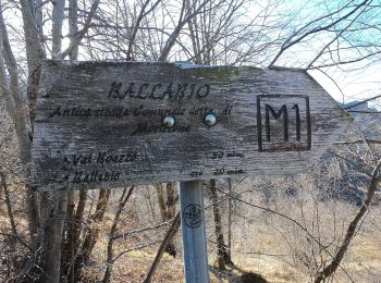
Tocht Te voet Lecco - Antica Strada Comunale di Morterone - Photo
Te voet 6.15
Km
GUIDE+

Te voet

Gemakkelijk
Lecco, Lombardije, Lecco, Italy
6,2 km | 10,7 km-effort
2h 25min
375 m
228 m
Neen
SityTrail - itinéraires balisés pédestres

• Symbol: red square with black text "M1"
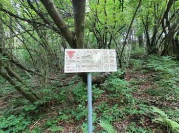
Tocht Te voet Lecco - Anello del Resegone - Photo
Te voet 12.993
Km
GUIDE+

Te voet

Medium
Lecco, Lombardije, Lecco, Italy
13 km | 23 km-effort
5h 13min
755 m
744 m
Ja
SityTrail - itinéraires balisés pédestres

• Trail created by Progetto Lario.

Tocht Te voet Lecco - Sentiero 21: Erna - Artavaggio - Photo
Te voet 14.93
Km
GUIDE+

Te voet

Medium
Lecco, Lombardije, Lecco, Italy
14,9 km | 27 km-effort
6h 5min
991 m
581 m
Neen
SityTrail - itinéraires balisés pédestres

• Trail created by Società Escursionisti Lecchesi. Symbol: depends on trail section: blazes red-white-yellow vertical ...

8 tochten weergegeven op 8

Gratisgps-wandelapplicatie

Logo SityTrail SityTrail

IGN / Geografische instituten

SityTrail uit de App Store downloaden SityTrail uit Google Play downloaden

Logo SityTrail SityTrail World

De wereld gaat voor u open

SityTrail uit de App Store downloaden SityTrail uit Google Play downloaden SityTrail op Huawei AppGallery downloaden

Activiteiten

Sluiten
Mijn abonnementen