![](/images/other/stat-length.png)
Vicopisano, Pisa: Top van de beste wandelroutes, trajecten, tochten en wandelingen
Vicopisano: Ontdek de beste tochten: 6 te voet. Al deze tochten, trajecten, routes en outdoor activiteiten zijn beschikbaar in onze SityTrail-apps voor smartphones en tablets.
De beste trajecten (6)
![Tocht Te voet Vicopisano -](https://media.geolcdn.com/t/350/260/a1373148-452f-49bb-894c-663bdae3fbe4.jpeg&format=jpg&maxdim=2)
![Te voet Te voet](https://static1.geolcdn.com/sitytour/trail-icons/100.png)
Km
Te voet
![](/images/other/stat-length.png)
![](https://static1.geolcdn.com/siteimages/upload/files/1508320355ic_sort_den_pos_24dp.png)
![](https://static1.geolcdn.com/siteimages/upload/files/1508320355ic_sort_den_neg_24dp.png)
![](https://static1.geolcdn.com/siteimages/upload/files/16400158638029165_repeat_loop_refresh_sync_direction_icon.png)
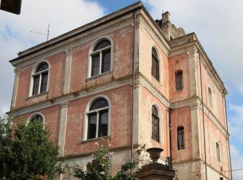
• Trail created by Comune di Calci / Vicopisano / Club Alpino Italiano Pisa. Symbol: 139 on white red flag
![Tocht Te voet Vicopisano - Vicopisano - Campomaggio - San Jacopo - La Torre - Col di Cincia - Photo](https://media.geolcdn.com/t/350/260/f1bca7af-0963-4f34-9775-db816f259853.jpeg&format=jpg&maxdim=2)
![Te voet Te voet](https://static1.geolcdn.com/sitytour/trail-icons/100.png)
Km
Te voet
![](/images/other/stat-length.png)
![](https://static1.geolcdn.com/siteimages/upload/files/1508320355ic_sort_den_pos_24dp.png)
![](https://static1.geolcdn.com/siteimages/upload/files/1508320355ic_sort_den_neg_24dp.png)
![](https://static1.geolcdn.com/siteimages/upload/files/16400158638029165_repeat_loop_refresh_sync_direction_icon.png)
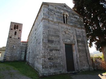
• Trail created by Comune di Vicopisano. Symbol: 150 on white red flag
![Tocht Te voet Vicopisano - Vicopisano - Campo dei Lupi - Mandrie - Col di Cincia - Buti - Photo](https://media.geolcdn.com/t/350/260/c18ff4bb-3e79-43e2-b2e3-588d24175233.jpeg&format=jpg&maxdim=2)
![Te voet Te voet](https://static1.geolcdn.com/sitytour/trail-icons/100.png)
Km
Te voet
![](/images/other/stat-length.png)
![](https://static1.geolcdn.com/siteimages/upload/files/1508320355ic_sort_den_pos_24dp.png)
![](https://static1.geolcdn.com/siteimages/upload/files/1508320355ic_sort_den_neg_24dp.png)
![](https://static1.geolcdn.com/siteimages/upload/files/16400158638029165_repeat_loop_refresh_sync_direction_icon.png)
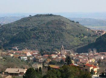
• Trail created by Comune di Buti / Vicopisano. Symbol: 148 on white red flag
![Tocht Te voet Vicopisano -](https://media.geolcdn.com/t/350/260/f267c1b5-69e6-4892-8a7e-2b84a89c58bb.jpeg&format=jpg&maxdim=2)
![Te voet Te voet](https://static1.geolcdn.com/sitytour/trail-icons/100.png)
Km
Te voet
![](/images/other/stat-length.png)
![](https://static1.geolcdn.com/siteimages/upload/files/1508320355ic_sort_den_pos_24dp.png)
![](https://static1.geolcdn.com/siteimages/upload/files/1508320355ic_sort_den_neg_24dp.png)
![](https://static1.geolcdn.com/siteimages/upload/files/16400158638029165_repeat_loop_refresh_sync_direction_icon.png)
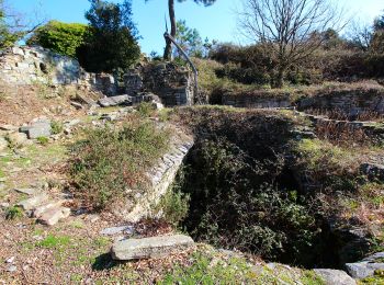
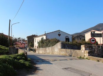
• Trail created by Comune di Vicopisano / Club Alpino Italiano Pisa. Symbol: 145 on white red flag
![Tocht Te voet Vicopisano -](https://media.geolcdn.com/t/350/260/b3c504cb-dc65-469a-9964-a0136d1cf5d2.jpeg&format=jpg&maxdim=2)
![Te voet Te voet](https://static1.geolcdn.com/sitytour/trail-icons/100.png)
Km
Te voet
![](/images/other/stat-length.png)
![](https://static1.geolcdn.com/siteimages/upload/files/1508320355ic_sort_den_pos_24dp.png)
![](https://static1.geolcdn.com/siteimages/upload/files/1508320355ic_sort_den_neg_24dp.png)
![](https://static1.geolcdn.com/siteimages/upload/files/16400158638029165_repeat_loop_refresh_sync_direction_icon.png)
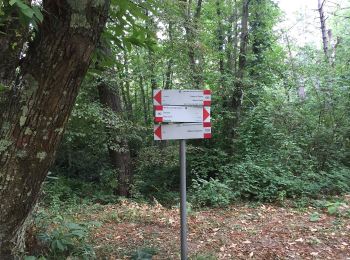
• Trail created by Comune di Calci / Vicopisano / ST Montepisano. survey data: https://www.strava.com/activities/79501...
![Tocht Te voet Vicopisano -](https://media.geolcdn.com/t/350/260/97881ee9-9487-4cc9-8241-99f9010498f1.jpeg&format=jpg&maxdim=2)
![Te voet Te voet](https://static1.geolcdn.com/sitytour/trail-icons/100.png)
Km
Te voet
![](/images/other/stat-length.png)
![](https://static1.geolcdn.com/siteimages/upload/files/1508320355ic_sort_den_pos_24dp.png)
![](https://static1.geolcdn.com/siteimages/upload/files/1508320355ic_sort_den_neg_24dp.png)
![](https://static1.geolcdn.com/siteimages/upload/files/16400158638029165_repeat_loop_refresh_sync_direction_icon.png)
• Trail created by Comune di Buti / Calci / Capannori / Lucca / San Giuliano Terme / Vecchiano / Vicopisano - Club Alpi...
6 tochten weergegeven op 6
Gratisgps-wandelapplicatie