


3,6 km | 7,6 km-effort
Tre Ville: Ontdek de beste tochten: 22 te voet. Al deze tochten, trajecten, routes en outdoor activiteiten zijn beschikbaar in onze SityTrail-apps voor smartphones en tablets.
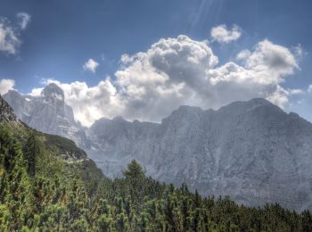
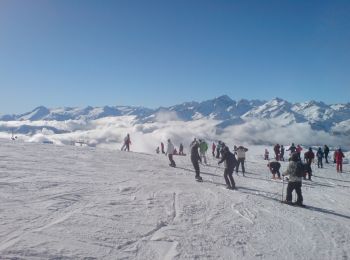
Te voet


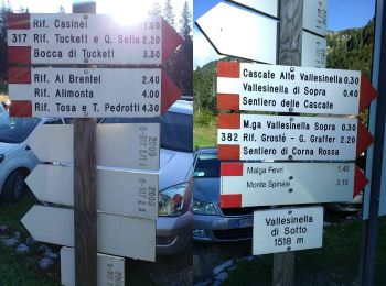
• Trail created by Società degli Alpinisti Tridentini. Website: http://www.sat.tn.it/
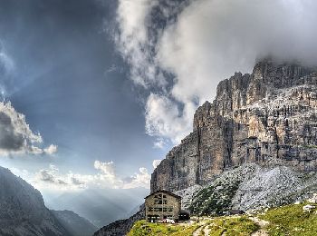
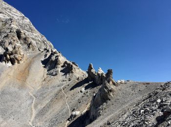
Te voet
• Trail created by Società degli Alpinisti Tridentini. Website: http://www.sat.tn.it/
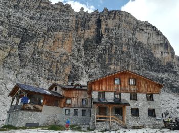
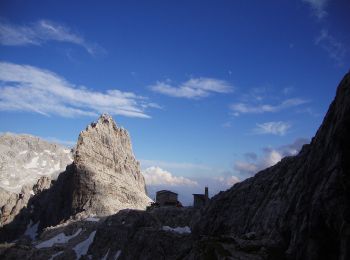
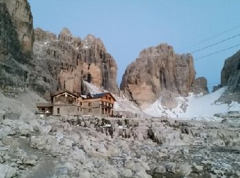
Te voet
• Trail created by Società degli Alpinisti Tridentini. Website: http://www.sat.tn.it/
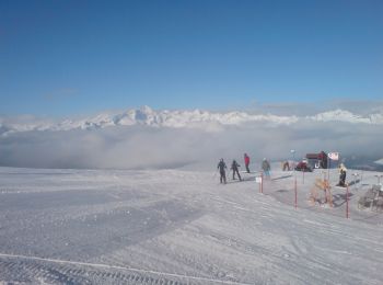
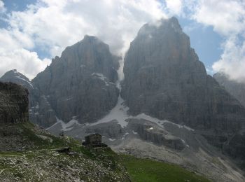
Te voet
• Trail created by Società degli Alpinisti Tridentini. Website: http://www.sat.tn.it/
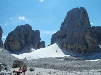
Te voet
• Trail created by Società degli Alpinisti Tridentini. Website: http://www.sat.tn.it/
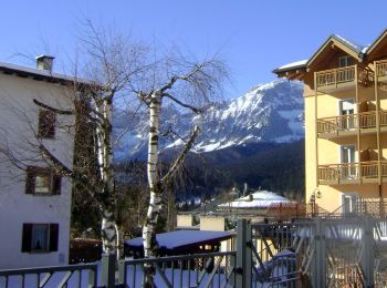
Te voet
• Trail created by Società degli Alpinisti Tridentini. Website: http://www.sat.tn.it/
Te voet
• Trail created by Società degli Alpinisti Tridentini. Website: http://www.sat.tn.it/
Te voet
• Trail created by Società degli Alpinisti Tridentini. Website: http://www.sat.tn.it/
Te voet
• Trail created by Società degli Alpinisti Tridentini. Website: http://www.sat.tn.it/
Te voet
• Trail created by Società degli Alpinisti Tridentini. Website: http://www.sat.tn.it/
Te voet
• Trail created by Società degli Alpinisti Tridentini. Website: http://www.sat.tn.it/
Stappen
• Parcours de Via Ferrata demandant un équipement spécifique et une certaine maîtrise de la haute montagne. Départ du...

Te voet
• Trail created by Società degli Alpinisti Tridentini. Website: http://www.sat.tn.it/

Stappen
Stappen
Stappen
Stappen
Stappen
Stappen

 12.63
12.63
sport
20 tochten weergegeven op 29
Gratisgps-wandelapplicatie
 SityTrail
IGN / Geografische instituten
SityTrail World
De wereld gaat voor u open