


3,3 km | 7,1 km-effort
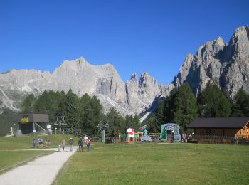
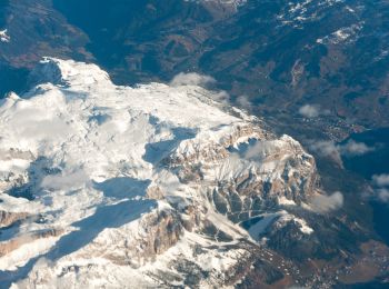
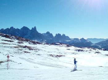
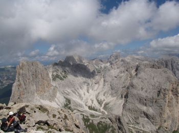
San Giovanni di Fassa: Ontdek de beste tochten: 32 te voet. Al deze tochten, trajecten, routes en outdoor activiteiten zijn beschikbaar in onze SityTrail-apps voor smartphones en tablets.
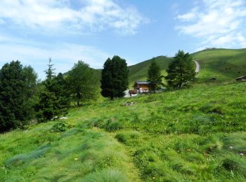
Te voet


• Trail created by Società degli Alpinisti Tridentini.
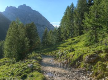
Te voet
• Trail created by AVS Alpenverein Südtirol. Symbol: 21 on white red flag
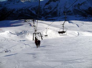
Te voet
• Trail created by Società degli Alpinisti Tridentini. Website: http://www.sat.tn.it/
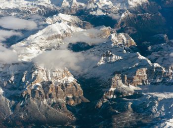
Te voet
• Trail created by Società degli Alpinisti Tridentini. Website: http://www.sat.tn.it/
Te voet
• Trail created by Società degli Alpinisti Tridentini. Website: http://www.sat.tn.it/
Te voet
• Trail created by Società degli Alpinisti Tridentini. Website: http://www.sat.tn.it/
Te voet
• Trail created by Società degli Alpinisti Tridentini. Website: http://www.sat.tn.it/
Te voet
• Trail created by Società degli Alpinisti Tridentini. Website: http://www.sat.tn.it/
Te voet
• Trail created by Società degli Alpinisti Tridentini.
Te voet
• Trail created by Società degli Alpinisti Tridentini. Website: http://www.sat.tn.it/
Te voet
• Trail created by Società degli Alpinisti Tridentini. Website: http://www.sat.tn.it/
Te voet
• Trail created by Società degli Alpinisti Tridentini. Website: http://www.sat.tn.it/
Te voet
• Trail created by Società degli Alpinisti Tridentini. Website: http://www.sat.tn.it/
Te voet
• Trail created by Società degli Alpinisti Tridentini. Website: http://www.sat.tn.it/
Te voet
• Symbol: 610 on white red flag
Te voet
• Trail created by Società degli Alpinisti Tridentini. Website: http://www.sat.tn.it/
Te voet
• Trail created by Società degli Alpinisti Tridentini. Website: http://www.sat.tn.it/
Te voet
• Trail created by Società degli Alpinisti Tridentini. Website: http://www.sat.tn.it/
Te voet
• Sentiero Italia CAI 2019
Te voet
• Trail created by Società degli Alpinisti Tridentini. Website: http://www.sat.tn.it/
20 tochten weergegeven op 32
Gratisgps-wandelapplicatie
 SityTrail
IGN / Geografische instituten
SityTrail World
De wereld gaat voor u open