


10,6 km | 15,7 km-effort
Passignano sul Trasimeno: Ontdek de beste tochten: 4 te voet. Al deze tochten, trajecten, routes en outdoor activiteiten zijn beschikbaar in onze SityTrail-apps voor smartphones en tablets.
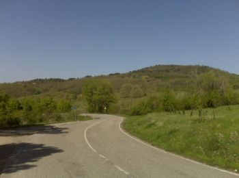
Te voet


• Trail created by Comune di Passignano sul Trasimeno. number of itinerary being updated Umbria Excursion Network Sym...
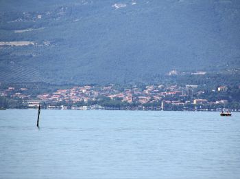
Te voet
• Trail created by Parco regionale del Lago Trasimeno. number of itinerary being updated Umbria Excursion Network Sym...
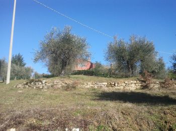
Te voet
• Trail created by Parco regionale del Lago Trasimeno. number of itinerary being updated Umbria Excursion Network Sym...
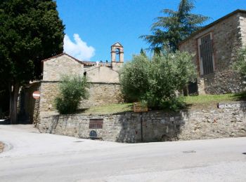
Te voet
• Trail created by Parco regionale del Lago Trasimeno. number of itinerary being updated Umbria Excursion Network Sym...
4 tochten weergegeven op 4
Gratisgps-wandelapplicatie
 SityTrail
IGN / Geografische instituten
SityTrail World
De wereld gaat voor u open