


21 km | 0 m-effort
Bláskógabyggð: Ontdek de beste tochten: 7 te voet en 1 te paard. Al deze tochten, trajecten, routes en outdoor activiteiten zijn beschikbaar in onze SityTrail-apps voor smartphones en tablets.
Te voet


• kein eindeutiges Wanderzeichen - allgemeines Symbol gewählt, 160km Symbol: Der Weg ist ausgeschildert und mit Steinp...
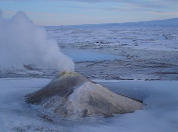
Stappen
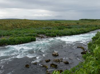
Stappen

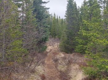
Stappen
Stappen
Stappen
Stappen

Paardrijden
8 tochten weergegeven op 8
Gratisgps-wandelapplicatie
 SityTrail
IGN / Geografische instituten
SityTrail World
De wereld gaat voor u open