


6,7 km | 9,1 km-effort
Onbekend: Ontdek de beste tochten: 33 te voet. Al deze tochten, trajecten, routes en outdoor activiteiten zijn beschikbaar in onze SityTrail-apps voor smartphones en tablets.
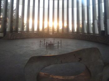
Te voet


• Trail created by Hadassah.
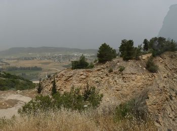
Te voet
• Trail created by itc.
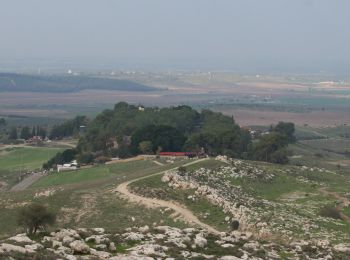
Te voet
• Trail created by itc.
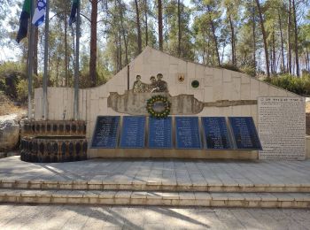
Te voet
• Trail created by itc.
Te voet
• Trail created by itc.
Te voet
• Trail created by kkl.
Te voet
• Trail created by itc.
Te voet
• Trail created by itc.
Te voet
• Trail created by itc.
Te voet
• Trail created by itc.
Te voet
• Trail created by itc.
Te voet
• Trail created by itc.
Te voet
• Trail created by itc.
Te voet
• Trail created by itc.
Te voet
• Trail created by itc.
Te voet
• Trail created by itc.

Te voet
• Trail created by itc.

Te voet
• Trail created by itc.
Te voet
• Trail created by itc.
Te voet
• Trail created by itc. הודעה מקק"ל - השביל האדום 9446 ממצפה משואה לחירבית מידרס סגור זמנית לטיול ,עקב בעיות בטיחות בח...
20 tochten weergegeven op 33
Gratisgps-wandelapplicatie
 SityTrail
IGN / Geografische instituten
SityTrail World
De wereld gaat voor u open