Glenroe, West Clare Municipal District: Top van de beste wandelroutes, trajecten, tochten en wandelingen

1 opmerkingen

Glenroe: Ontdek de beste tochten: 4 te voet. Al deze tochten, trajecten, routes en outdoor activiteiten zijn beschikbaar in onze SityTrail-apps voor smartphones en tablets.


De beste trajecten (5)

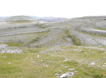
Tocht Stappen West Clare Municipal District - Burren - the blue and white trains - Photo
Stappen 9.391
Km

Stappen

Medium
West Clare Municipal District, Onbekend, County Clare, Ireland
9,4 km | 12 km-effort
2h 43min
192 m
192 m
Ja
Lobin

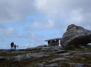
Tocht Stappen West Clare Municipal District - LOUGH AVALLA - Photo
Stappen 8.178
Km
GUIDE

Stappen

Medium
West Clare Municipal District, Onbekend, County Clare, Ireland
8,2 km | 10,2 km-effort
2h 18min
151 m
151 m
Ja
jeanmarcMasson

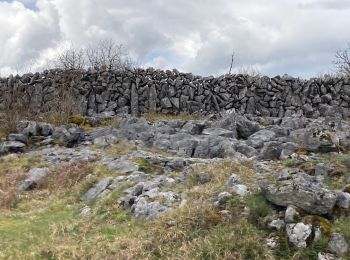
Tocht Stappen West Clare Municipal District - Mon parcours - Photo
Stappen 7.501
Km

Stappen

Medium
(1)
West Clare Municipal District, Onbekend, County Clare, Ireland
7,5 km | 9,8 km-effort
2h 5min
174 m
174 m
Ja
BureauChris

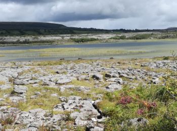
Tocht Stappen West Clare Municipal District - MullaghMore - Photo
Stappen 8.695
Km

Stappen

Medium
West Clare Municipal District, Onbekend, County Clare, Ireland
8,7 km | 12,3 km-effort
Onbekend
274 m
271 m
Neen
walter.hmcampbell

Tocht Auto West Clare Municipal District - 190705BurrenConnemara - Photo
Auto 167.647
Km

Auto

Heel gemakkelijk
West Clare Municipal District, Onbekend, County Clare, Ireland
168 km | 187 km-effort
6h 52min
1451 m
1471 m
Neen
pffrench

5 tochten weergegeven op 5

Gratisgps-wandelapplicatie

Logo SityTrail SityTrail

IGN / Geografische instituten

SityTrail uit de App Store downloaden SityTrail uit Google Play downloaden

Logo SityTrail SityTrail World

De wereld gaat voor u open

SityTrail uit de App Store downloaden SityTrail uit Google Play downloaden SityTrail op Huawei AppGallery downloaden

Activiteiten

Sluiten
Mijn abonnementen