


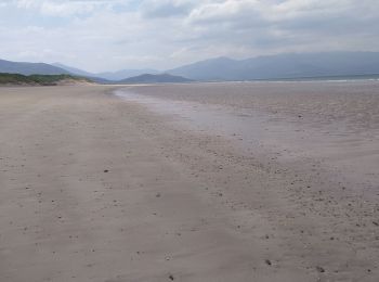
12 km | 13,6 km-effort
Kenmare Municipal District: Ontdek de beste tochten: 43 te voet en 4 met de fiets of mountainbike. Al deze tochten, trajecten, routes en outdoor activiteiten zijn beschikbaar in onze SityTrail-apps voor smartphones en tablets.
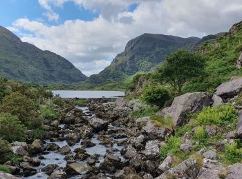
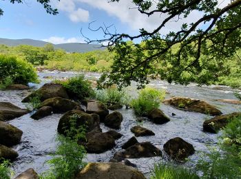
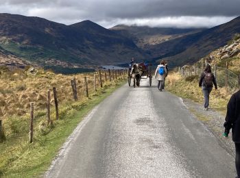
Te voet


• OSi Discovery Series Sheet 71 Website: http://www.irishtrails.ie/Trail/Keel-Uphill-Downhill-Loop-Walk/666/
Te voet
Te voet
Te voet
Stappen
Stappen
Stappen
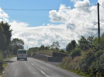
Auto

Stappen
Mountainbike

Stappen
Stappen
Stappen
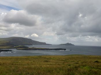
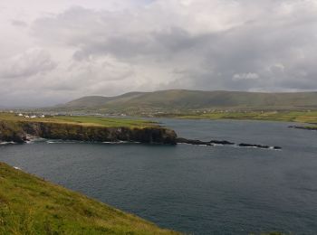
• Magnifiques vues sur la cote, les îles Skelling, les champs de moutons, etc.
Stappen
Stappen
•

Andere activiteiten
•
Andere activiteiten
•
Andere activiteiten
•
Andere activiteiten
•
Andere activiteiten
•
20 tochten weergegeven op 61
Gratisgps-wandelapplicatie
 SityTrail
IGN / Geografische instituten
SityTrail World
De wereld gaat voor u open