


5,2 km | 5,6 km-effort
Fejér megye: Ontdek de beste tochten: 30 te voet. Al deze tochten, trajecten, routes en outdoor activiteiten zijn beschikbaar in onze SityTrail-apps voor smartphones en tablets.

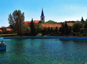
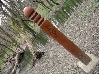
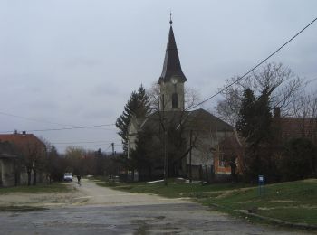
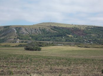
Te voet


• Trail created by DEMETER.
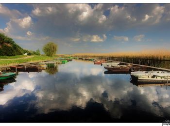
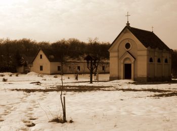
Te voet
• Trail created by DEMETER.
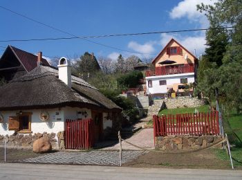
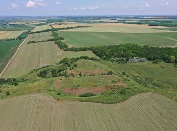
Te voet
• Trail created by Fejér Megyei Természetbarát Szövetség.
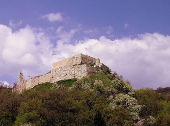
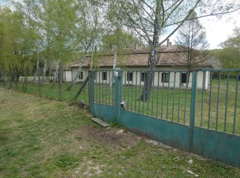
Te voet
• Itt a koncepciót kéne kitalálni, hogy kereszt vagy sáv !!!
Te voet
• Symbol: red triangle
Te voet
• Trail created by Fejér Megyei Természetbarát Szövetség. Symbol: red L
Te voet
• Symbol: red_cross
Te voet
Te voet
Te voet
Te voet

Te voet
Te voet

Te voet

Te voet
Te voet
Te voet

Te voet
Te voet
Te voet
20 tochten weergegeven op 30
Gratisgps-wandelapplicatie
 SityTrail
IGN / Geografische instituten
SityTrail World
De wereld gaat voor u open