![](/images/other/stat-length.png)
- Tochten
- Outdoor
- United Kingdom
- Engeland
- Norfolk
- King's Lynn and West Norfolk
King's Lynn and West Norfolk, Norfolk: Top van de beste wandelroutes, trajecten, tochten en wandelingen
King's Lynn and West Norfolk: Ontdek de beste tochten: 3 te voet. Al deze tochten, trajecten, routes en outdoor activiteiten zijn beschikbaar in onze SityTrail-apps voor smartphones en tablets.
De beste trajecten (3)
![Tocht Te voet King's Lynn and West Norfolk - Brancaster Circular Walk - Photo](https://media.geolcdn.com/t/350/260/11c1741a-ed2e-49db-919e-4ef3c763e46e.jpeg&format=jpg&maxdim=2)
![Te voet Te voet](https://static1.geolcdn.com/sitytour/trail-icons/100.png)
Km
Te voet
![](/images/other/stat-length.png)
![](https://static1.geolcdn.com/siteimages/upload/files/1508320355ic_sort_den_pos_24dp.png)
![](https://static1.geolcdn.com/siteimages/upload/files/1508320355ic_sort_den_neg_24dp.png)
![](https://static1.geolcdn.com/siteimages/upload/files/16400158638029165_repeat_loop_refresh_sync_direction_icon.png)
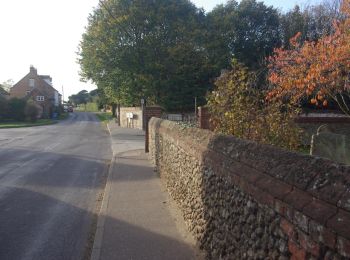
• This circular walk offers a rich and varied past for the heritage explorer to delve into Website: https://www.norfol...
![Tocht Te voet King's Lynn and West Norfolk - Brancaster Staithe Circular - Photo](https://media.geolcdn.com/t/350/260/f4b5bd01-a8e8-478f-82fa-2b890c6d2a5a.jpeg&format=jpg&maxdim=2)
![Te voet Te voet](https://static1.geolcdn.com/sitytour/trail-icons/100.png)
Km
Te voet
![](/images/other/stat-length.png)
![](https://static1.geolcdn.com/siteimages/upload/files/1508320355ic_sort_den_pos_24dp.png)
![](https://static1.geolcdn.com/siteimages/upload/files/1508320355ic_sort_den_neg_24dp.png)
![](https://static1.geolcdn.com/siteimages/upload/files/16400158638029165_repeat_loop_refresh_sync_direction_icon.png)
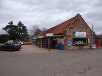
• The Brancaster Staithe walk is a contrast of saltmarsh and sailing regattas, wind and woodland Website: https://www...
![Tocht Te voet King's Lynn and West Norfolk - Circular Walk - Photo](https://media.geolcdn.com/t/350/260/78b8408f-41f3-4fcc-bea8-6b3ddd9670c3.jpeg&format=jpg&maxdim=2)
![Te voet Te voet](https://static1.geolcdn.com/sitytour/trail-icons/100.png)
Km
Te voet
![](/images/other/stat-length.png)
![](https://static1.geolcdn.com/siteimages/upload/files/1508320355ic_sort_den_pos_24dp.png)
![](https://static1.geolcdn.com/siteimages/upload/files/1508320355ic_sort_den_neg_24dp.png)
![](https://static1.geolcdn.com/siteimages/upload/files/16400158638029165_repeat_loop_refresh_sync_direction_icon.png)
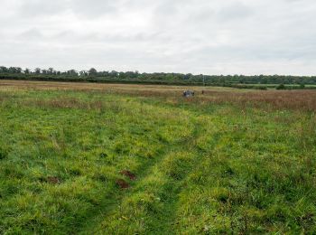
• Tocht aangemaakt door Norfolk Trails.
3 tochten weergegeven op 3
Gratisgps-wandelapplicatie