


10 km | 11,2 km-effort
Gwynedd: Ontdek de beste tochten: 9 te voet. Al deze tochten, trajecten, routes en outdoor activiteiten zijn beschikbaar in onze SityTrail-apps voor smartphones en tablets.
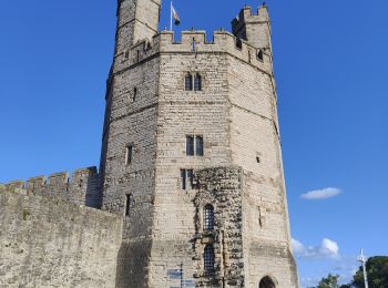
Stappen


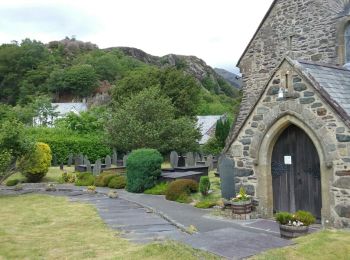
Stappen
• Tranquille
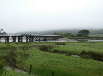
Stappen
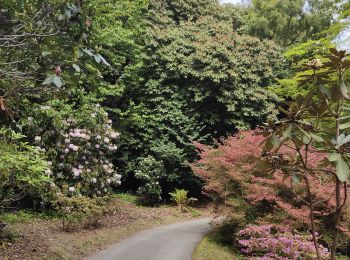
• Un beau chemin ce matin avec une bonne pluie, pas mieux.

Stappen
• Un beau chemin ce matin avec une bonne pluie, pas mieux.
Stappen

Stappen
Stappen
Stappen
Stappen
9 tochten weergegeven op 9
Gratisgps-wandelapplicatie
 SityTrail
IGN / Geografische instituten
SityTrail World
De wereld gaat voor u open