


10,6 km | 19 km-effort
Ota: Ontdek de beste tochten: 43 te voet en 13 met de fiets of mountainbike. Al deze tochten, trajecten, routes en outdoor activiteiten zijn beschikbaar in onze SityTrail-apps voor smartphones en tablets.
Stappen


Stappen
•
Stappen
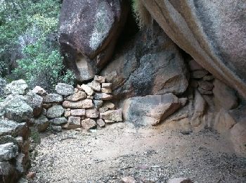
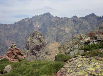
Te voet
Stappen

Stappen
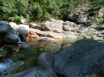
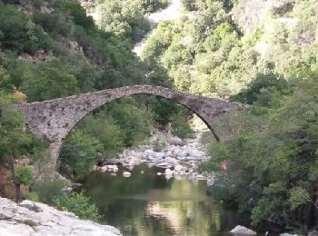
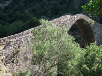
• passage à gué
Stappen
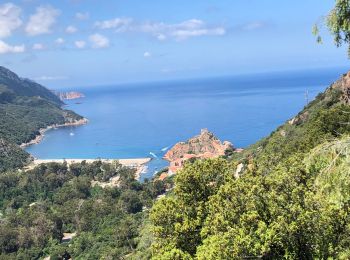
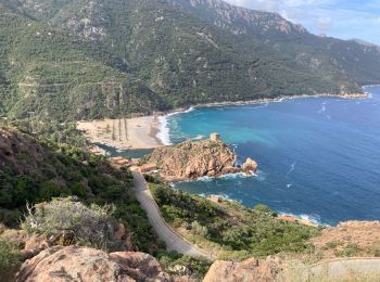
• Corniche de Porto boucle par Ghineparu
Stappen
Stappen
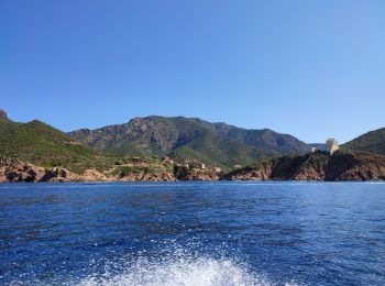
Motorboot

Stappen
Stappen

Fiets
• route des calanches de piana
Stappen

Stappen
Stappen
Stappen

Andere activiteiten
Stappen
Stappen
20 tochten weergegeven op 67
Gratisgps-wandelapplicatie
 SityTrail
IGN / Geografische instituten
SityTrail World
De wereld gaat voor u open