


8,5 km | 10,2 km-effort
Fressines: Ontdek de beste tochten: 9 te voet en 1 met de fiets of mountainbike. Al deze tochten, trajecten, routes en outdoor activiteiten zijn beschikbaar in onze SityTrail-apps voor smartphones en tablets.
Stappen


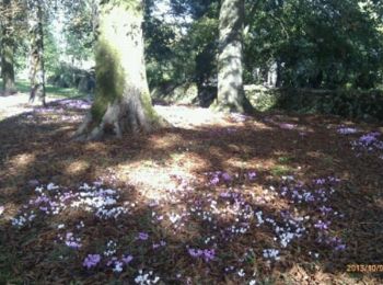
• Agréable promenade autour de Fressines. Le long du Lambon et à travers les chemins souvent ombragés.version 9 km Club...
Stappen
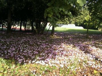
• Agréable promenade autour de Fressines. Le long du Lambon et à travers les chemins souvent ombragés.version 9 km Club...
Stappen

Stappen
Stappen
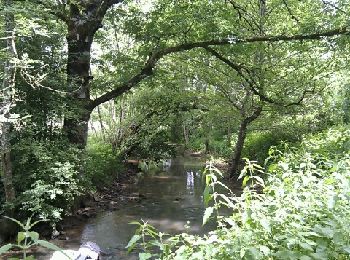
• Agréable promenade autour de Fressines. Le long du Lambon et à travers les chemins souvent ombragés.version 9 km Club...

Stappen
Stappen

Lopen

Mountainbike
Stappen
10 tochten weergegeven op 10
Gratisgps-wandelapplicatie
 SityTrail
IGN / Geografische instituten
SityTrail World
De wereld gaat voor u open