


14 km | 17,5 km-effort
Corrèze: Ontdek de beste tochten: 1.373 te voet, 447 met de fiets of mountainbike en 58 te paard. Al deze tochten, trajecten, routes en outdoor activiteiten zijn beschikbaar in onze SityTrail-apps voor smartphones en tablets.
Stappen


Mountainbike
Stappen
Stappen
Stappen
Mountainbike
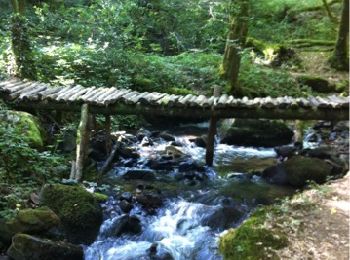
• Randonnée au départ de la place du Champ de Mars à Beaulieu sur Dordogne. Après avoir traversé la Dordogne sur la pas...
Stappen
• rando campagnarde
Stappen
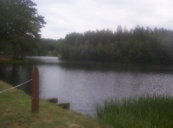
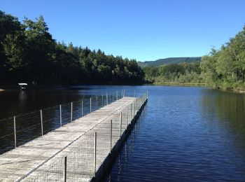
• tour du lac
Mountainbike
Stappen
Stappen
Stappen
Stappen
Stappen
Stappen
Mountainbike
Mountainbike
• Parcours très difficile à l allé monte des Monedieres retour facile point de vue magnifique
Stappen
Stappen
Stappen
20 tochten weergegeven op 2030
Gratisgps-wandelapplicatie
 SityTrail
IGN / Geografische instituten
SityTrail World
De wereld gaat voor u open