


12,1 km | 16 km-effort
Thury-Harcourt: Ontdek de beste tochten: 25 te voet en 19 met de fiets of mountainbike. Al deze tochten, trajecten, routes en outdoor activiteiten zijn beschikbaar in onze SityTrail-apps voor smartphones en tablets.

Stappen


Mountainbike
Mountainbike
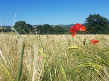
Stappen
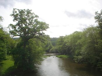
Stappen
Stappen

 110.517
sport
• Cette randonnée pédestre en itinérance vous emmènera découvrir les sites les plus emblématiques de la Suisse Normande...

Te voet
Stappen
Mountainbike

Fietstoerisme
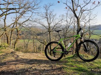
Mountainbike
• Jour 2/14 d'une rando Cabourg-Bordeaux. Sur l'ensemble du parcours, la majorité du tracé est en macadam avec plusieur...
Fiets
• 5 jours, direction Ouistreham ou nous sommes resté 2 nuits, Une baignade en Mer s'impose, Visite du Port et Vu un gro...
Mountainbike
• Jour 7/9 d'une randonnée Verviers - Bretagne. Aussi souvent que possible sur petites routes et chemins. Certains pass...
Mountainbike
• le départ est brutal, voir méchant... les premiers kilomètres pique un peu. a essayer dans l'autre sens.
Mountainbike
• Boucle thury harcourt Cossesseville thury.
Mountainbike
• le départ est brutal, voir méchant... les premiers kilomètres pique un peu. a essayer dans l'autre sens.
Mountainbike
• Espace VTT-FFC Suisse Normande N°3 Départ : Thury-Harcourt - Base de Canoë-Kayak Dénivelé+: 802m
Stappen
Mountainbike
20 tochten weergegeven op 47
Gratisgps-wandelapplicatie
 SityTrail
IGN / Geografische instituten
SityTrail World
De wereld gaat voor u open