


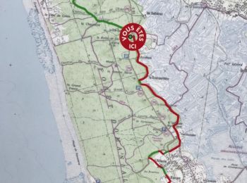
22 km | 25 km-effort
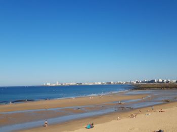
Les Sables-d'Olonne: Ontdek de beste tochten: 130 te voet en 49 met de fiets of mountainbike. Al deze tochten, trajecten, routes en outdoor activiteiten zijn beschikbaar in onze SityTrail-apps voor smartphones en tablets.
Mountainbike


Fietstoerisme

Stappen
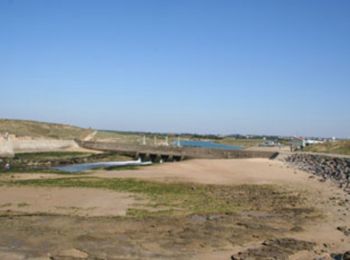
• Des président le long du remblai en passant par le port, Les Halles et retour.
Mountainbike
• hm
Stappen
•
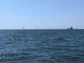
Zeilboot
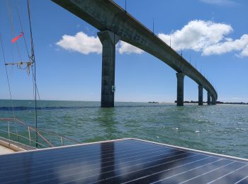
Zeilboot
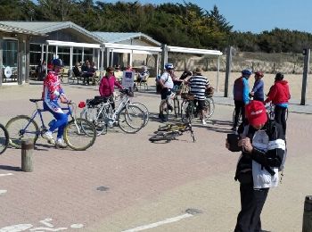
Fiets
Andere activiteiten
• 10,570km. Départ Sté Émilienne
Andere activiteiten
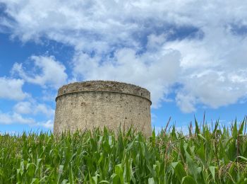
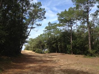
• dunes et forêt
Stappen
Stappen
Stappen
Stappen
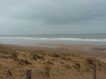
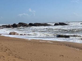
• Sentier a travers la forêt domaniale et le long de la plage sauvage
Fiets

Stappen
Fietstoerisme

Stappen
Stappen

Stappen
20 tochten weergegeven op 194
Gratisgps-wandelapplicatie
 SityTrail
IGN / Geografische instituten
SityTrail World
De wereld gaat voor u open