


7,3 km | 11 km-effort
Les Cammazes: Ontdek de beste tochten: 43 te voet en 15 met de fiets of mountainbike. Al deze tochten, trajecten, routes en outdoor activiteiten zijn beschikbaar in onze SityTrail-apps voor smartphones en tablets.
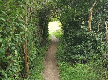
Te voet


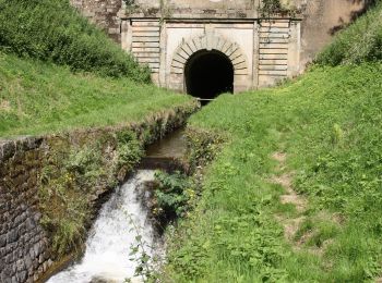
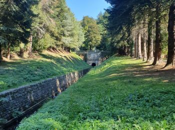
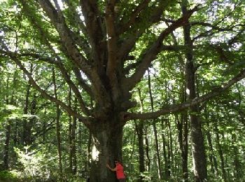
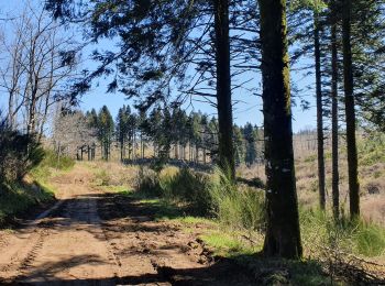
• Randonnée pédestre aux Cammazes dans le Tarn pour une boucle dans la forêt de l\'Aiguille.
Andere activiteiten
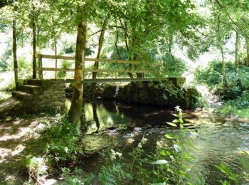
Stappen
Stappen
Stappen
Stappen
• boucle en partie sur le balisage jaune avec variante.
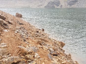
Mountainbike
Mountainbike

Stappen
Stappen
Stappen
Stappen
Stappen
Stappen
Stappen

Te voet
Stappen
Stappen
Stappen
Stappen
20 tochten weergegeven op 61
Gratisgps-wandelapplicatie
 SityTrail
IGN / Geografische instituten
SityTrail World
De wereld gaat voor u open