


15,3 km | 18,4 km-effort
Prinsuéjols-Malbouzon: Ontdek de beste tochten: 50 te voet en 1 te paard. Al deze tochten, trajecten, routes en outdoor activiteiten zijn beschikbaar in onze SityTrail-apps voor smartphones en tablets.

Stappen


Stappen

Stappen
Stappen
Stappen

Stappen
Stappen

Stappen
Stappen
Stappen
Stappen
Stappen

Stappen
Stappen
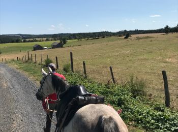
Paard

Stappen

Stappen
• 6ème étape : Ferme des Gentianes - Aumont-Aubrac
Stappen
• 2ème étape: Prinsuéjols - St Laurent de Muret avec visite du château de la Baume.
Stappen

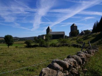
Te voet
20 tochten weergegeven op 55
Gratisgps-wandelapplicatie
 SityTrail
IGN / Geografische instituten
SityTrail World
De wereld gaat voor u open