


10,2 km | 20 km-effort
Campan: Ontdek de beste tochten: 193 te voet en 12 met de fiets of mountainbike. Al deze tochten, trajecten, routes en outdoor activiteiten zijn beschikbaar in onze SityTrail-apps voor smartphones en tablets.
Stappen


Stappen
• G4 LPC
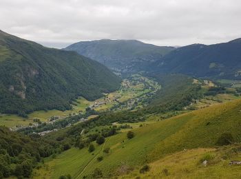
Te voet
• Symbol: Yellow bar

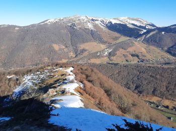
Te voet
• Beau temps , il faut compter 8Kms , dénivelée bon
Stappen
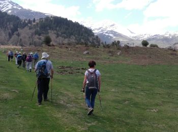
• Fait avec 27 randonneurs du LPC le 20 avril 2018 par beau temps un régal tous ont trouvé facile personne ne croit au ...
Stappen
• Par le Chemin des muletiers
Stappen
•

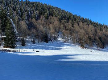
Sneeuwschoenen
Stappen
•
Stappen
Stappen
Stappen
Stappen
Noords wandelen

Stappen
Stappen
• une petite rallonge vers l courtaou des Esclozes s'imposait, pour parfaire le dénivelé. mais une jolie ballade a fair...
Stappen

Sneeuwschoenen
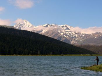
Fiets
Stappen
20 tochten weergegeven op 254
Gratisgps-wandelapplicatie
 SityTrail
IGN / Geografische instituten
SityTrail World
De wereld gaat voor u open