


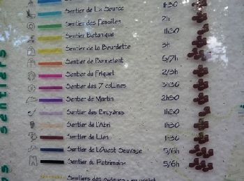
15,5 km | 21 km-effort
Aurignac: Ontdek de beste tochten: 13 te voet. Al deze tochten, trajecten, routes en outdoor activiteiten zijn beschikbaar in onze SityTrail-apps voor smartphones en tablets.

Stappen


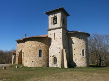
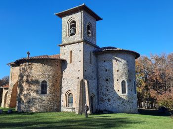
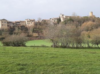
• bois d'Aurignac et Louge; bois et vallée
Stappen
Stappen
Stappen
Stappen
• Ce parcours consiste à tourner autour d'Aurignac par les 7 collines qui l'entourent. Il emprunte des tronçons d'autre...
Stappen
Stappen
Stappen
• Circuit de la Ligne Verte sur les Terres d'Aurignac avec un parcours permettant de découvrir les 19 communes du terri...
Stappen
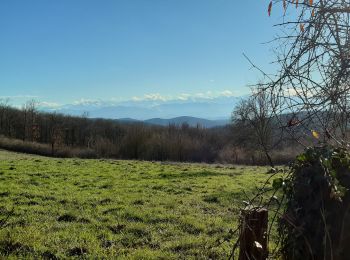
• Forêt et champs
Stappen
Stappen
Stappen
Stappen
13 tochten weergegeven op 13
Gratisgps-wandelapplicatie
 SityTrail
IGN / Geografische instituten
SityTrail World
De wereld gaat voor u open