


15 km | 25 km-effort
Fontrabiouse: Ontdek de beste tochten: 24 te voet en 2 met de fiets of mountainbike. Al deze tochten, trajecten, routes en outdoor activiteiten zijn beschikbaar in onze SityTrail-apps voor smartphones en tablets.
Stappen


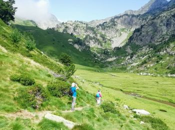
• 15km et 800m de dénivelé environ. Randonnée sans difficulté particulière. A Espousouille virer à gauche en épingle et...

Stappen
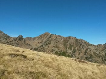
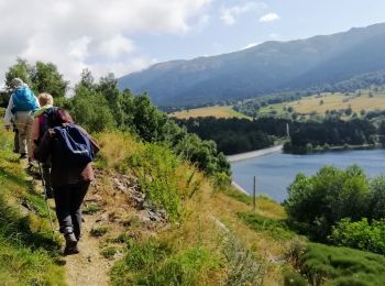
• A Espousouille à gauche en épingle vers le Galbe. Le chemin qui mène au parking est carrossable. Panorama magnifique
Stappen
• puyvalador
Stappen
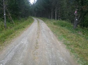
• Via le hameau d'espousouilles (prendre route forestière à gauche dans le hameau) - faire le retour par même sentier, ...

Stappen

Stappen
Stappen
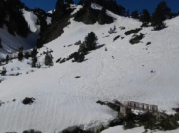
Sneeuwschoenen
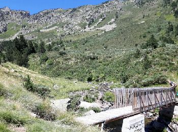
• Rando magnifique sur la deuxième partie. Un peu sportif seulement après le 2ieme refuge. Le reste du temps c'est sans...
Mountainbike
Stappen
Stappen
Stappen
Stappen
Stappen
Stappen
Stappen
Stappen
Stappen
Stappen

Hybride fiets
20 tochten weergegeven op 28
Gratisgps-wandelapplicatie
 SityTrail
IGN / Geografische instituten
SityTrail World
De wereld gaat voor u open