Latour-de-France, Pyrénées-Orientales: Top van de beste wandelroutes, trajecten, tochten en wandelingen

3 opmerkingen

Latour-de-France: Ontdek de beste tochten: 14 te voet. Al deze tochten, trajecten, routes en outdoor activiteiten zijn beschikbaar in onze SityTrail-apps voor smartphones en tablets.


De beste trajecten (14)

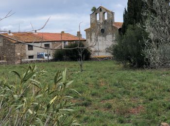
Tocht Stappen Latour-de-France - Latour de France 08/12/2021 - Photo
Stappen 12.447
Km

Stappen

Medium
Latour-de-France, Occitanië, Pyrénées-Orientales, France
12,4 km | 16,2 km-effort
3h 12min
282 m
277 m
Ja
andre66

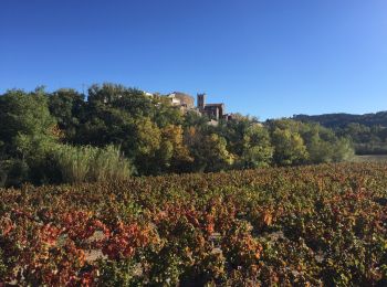
Tocht Stappen Latour-de-France - 66 LATOUR-DE-FRANCE, visite du village, massif de Tourèze et vallée de l'Agly - Photo
Stappen 8.265
Km

Stappen

Medium
Latour-de-France, Occitanië, Pyrénées-Orientales, France
8,3 km | 11 km-effort
1h 47min
206 m
209 m
Ja
Phidel66

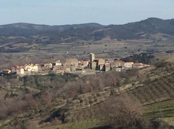
Tocht Stappen Latour-de-France - au départ de la Tour de France - Photo
Stappen 19.85
Km

Stappen

Gemakkelijk
Latour-de-France, Occitanië, Pyrénées-Orientales, France
19,9 km | 27 km-effort
4h 57min
530 m
531 m
Ja
ThonyM

• 20km dun parcours sans difficulté
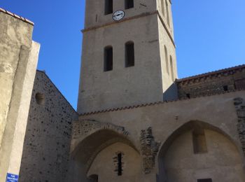
Tocht Stappen Latour-de-France - 66 LATOUR-DE-FRANCE, visite du village, massif de Tourèze et vallée de l'Agly - Photo
Stappen 8.265
Km

Stappen

Medium
(1)
Latour-de-France, Occitanië, Pyrénées-Orientales, France
8,3 km | 11 km-effort
1h 47min
206 m
209 m
Ja
jeff66

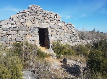
Tocht Stappen Latour-de-France - toureze Latout  - Photo
Stappen 10.382
Km

Stappen

Gemakkelijk
Latour-de-France, Occitanië, Pyrénées-Orientales, France
10,4 km | 15,1 km-effort
4h 0min
348 m
361 m
Neen
Erius

Tocht Stappen Latour-de-France - Latour de France - Photo
Stappen 11.795
Km

Stappen

Medium
(1)
Latour-de-France, Occitanië, Pyrénées-Orientales, France
11,8 km | 17,1 km-effort
3h 23min
396 m
397 m
Ja
ombrabella

Tocht Stappen Latour-de-France - perles au bord de l Agly - Photo
Stappen 4.567
Km

Stappen

Heel gemakkelijk
Latour-de-France, Occitanië, Pyrénées-Orientales, France
4,6 km | 5 km-effort
2h 0min
34 m
34 m
Ja
Erius

Tocht Stappen Latour-de-France - Latour de France - Photo
Stappen 44.743
Km

Stappen

Medium
Latour-de-France, Occitanië, Pyrénées-Orientales, France
45 km | 54 km-effort
5h 55min
691 m
755 m
Neen
robertperello

Tocht Stappen Latour-de-France - Tourèze mystérieuse - Photo
Stappen 11.46
Km

Stappen

Medium
(1)
Latour-de-France, Occitanië, Pyrénées-Orientales, France
11,5 km | 16,7 km-effort
3h 30min
391 m
391 m
Ja
bfrogneux

Tocht Stappen Latour-de-France - tour Bentous - Photo
Stappen 2.512
Km

Stappen

Gemakkelijk
Latour-de-France, Occitanië, Pyrénées-Orientales, France
2,5 km | 3,1 km-effort
1h 31min
43 m
43 m
Neen
Jean Paul Conil Lacoste

Tocht Stappen Latour-de-France - latour - Photo
Stappen 16.17
Km

Stappen

Gemakkelijk
Latour-de-France, Occitanië, Pyrénées-Orientales, France
16,2 km | 23 km-effort
6h 21min
524 m
524 m
Ja
michcoq

Tocht Stappen Latour-de-France - Latour de France - Photo
Stappen 11.839
Km

Stappen

Medium
Latour-de-France, Occitanië, Pyrénées-Orientales, France
11,8 km | 17,1 km-effort
3h 23min
397 m
397 m
Ja
Jocelyne LIGER

Tocht Stappen Latour-de-France - Hauts de Latour de france - Photo
Stappen 12.1
Km

Stappen

Moeilijk
Latour-de-France, Occitanië, Pyrénées-Orientales, France
12,1 km | 17,1 km-effort
3h 53min
377 m
377 m
Ja
ACEZAT

Tocht Stappen Latour-de-France - ste eulalie - Photo
Stappen 1.77
Km

Stappen

Heel gemakkelijk
Latour-de-France, Occitanië, Pyrénées-Orientales, France
1,8 km | 2,1 km-effort
53min
23 m
23 m
Ja
Jean Paul Conil Lacoste

14 tochten weergegeven op 14

Gratisgps-wandelapplicatie

Logo SityTrail SityTrail

IGN / Geografische instituten

SityTrail uit de App Store downloaden SityTrail uit Google Play downloaden

Logo SityTrail SityTrail World

De wereld gaat voor u open

SityTrail uit de App Store downloaden SityTrail uit Google Play downloaden SityTrail op Huawei AppGallery downloaden

Activiteiten

Sluiten
Mijn abonnementen