![](/images/other/stat-length.png)
Nahuja, Pyrénées-Orientales: Top van de beste wandelroutes, trajecten, tochten en wandelingen
1 opmerkingen
Nahuja: Ontdek de beste tochten: 3 te voet. Al deze tochten, trajecten, routes en outdoor activiteiten zijn beschikbaar in onze SityTrail-apps voor smartphones en tablets.
De beste trajecten (3)
![Tocht Stappen Nahuja - boucle de Nahuja - Photo](https://media.geolcdn.com/t/350/260/ext.jpg?maxdim=2&url=https%3A%2F%2Fservices.sitytrail.com%2FGeolivesWS%2FDownloadMedia.ashx%3FTrailID%3D558835%26Media%3D20160425135530.jpg)
![Stappen Stappen](https://static1.geolcdn.com/sitytour/trail-icons/101.png)
Km
#1 - boucle de Nahuja
Stappen
Medium
(1)
Nahuja,
Occitanië,
Pyrénées-Orientales,
France
![](/images/other/stat-length.png)
11,8 km | 18,2 km-effort
2h 44min
![](https://static1.geolcdn.com/siteimages/upload/files/1508320355ic_sort_den_pos_24dp.png)
480 m
![](https://static1.geolcdn.com/siteimages/upload/files/1508320355ic_sort_den_neg_24dp.png)
484 m
![](https://static1.geolcdn.com/siteimages/upload/files/16400158638029165_repeat_loop_refresh_sync_direction_icon.png)
Ja
crijack
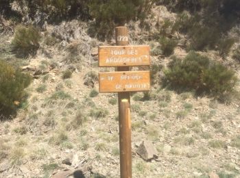
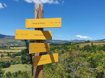
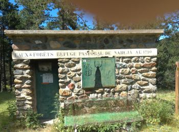
• Chemin de Nahuja au refuge et retour avec une vue splendide tout au long de la descente qui se termine par un petit r...
![Tocht Stappen Nahuja - Nahuja refuge - Photo](https://media.geolcdn.com/t/350/260/3ae68944-3f33-4437-91d6-905402675776.jpg&format=jpg&maxdim=2)
![Stappen Stappen](https://static1.geolcdn.com/sitytour/trail-icons/101.png)
Km
#2 - Nahuja refuge
Stappen
Medium
Nahuja,
Occitanië,
Pyrénées-Orientales,
France
![](/images/other/stat-length.png)
9,4 km | 14,8 km-effort
3h 54min
![](https://static1.geolcdn.com/siteimages/upload/files/1508320355ic_sort_den_pos_24dp.png)
407 m
![](https://static1.geolcdn.com/siteimages/upload/files/1508320355ic_sort_den_neg_24dp.png)
407 m
![](https://static1.geolcdn.com/siteimages/upload/files/16400158638029165_repeat_loop_refresh_sync_direction_icon.png)
Ja
marchev
![Tocht Stappen Nahuja - le refuge de nahuja - Photo](https://media.geolcdn.com/t/350/260/c3cf6bb7-daa8-493a-815b-fb340ace5055.jpg&format=jpg&maxdim=2)
![Stappen Stappen](https://static1.geolcdn.com/sitytour/trail-icons/101.png)
Km
#3 - le refuge de nahuja
Stappen
Medium
Nahuja,
Occitanië,
Pyrénées-Orientales,
France
![](/images/other/stat-length.png)
9 km | 14,2 km-effort
3h 45min
![](https://static1.geolcdn.com/siteimages/upload/files/1508320355ic_sort_den_pos_24dp.png)
391 m
![](https://static1.geolcdn.com/siteimages/upload/files/1508320355ic_sort_den_neg_24dp.png)
401 m
![](https://static1.geolcdn.com/siteimages/upload/files/16400158638029165_repeat_loop_refresh_sync_direction_icon.png)
Ja
chrifor
3 tochten weergegeven op 3
Gratisgps-wandelapplicatie