


15,5 km | 26 km-effort
Thorame-Basse: Ontdek de beste tochten: 29 te voet en 8 met de fiets of mountainbike. Al deze tochten, trajecten, routes en outdoor activiteiten zijn beschikbaar in onze SityTrail-apps voor smartphones en tablets.
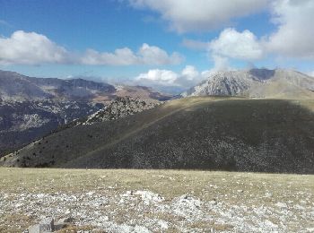
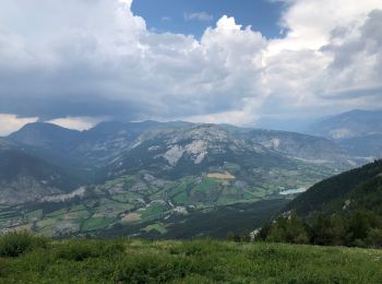
Stappen


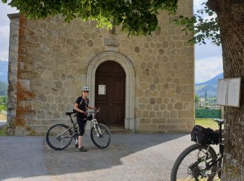
Mountainbike

Stappen

Stappen
Mountainbike
Stappen
Mountainbike
Mountainbike
Stappen
• pic de mal-ubac par la valette, départ piste après thorame-basse

Stappen
Motor
• Piste 4x4
Lopen
Mountainbike
Elektrische fiets

Stappen
Stappen
Stappen

Te voet
4x4
Stappen
• trop de route.
20 tochten weergegeven op 45
Gratisgps-wandelapplicatie
 SityTrail
IGN / Geografische instituten
SityTrail World
De wereld gaat voor u open