


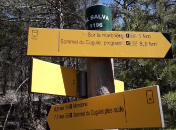
5,1 km | 7,9 km-effort
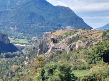
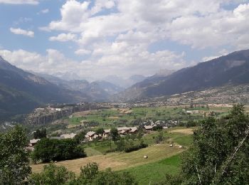
Guillestre: Ontdek de beste tochten: 61 te voet, 11 met de fiets of mountainbike en 1 te paard. Al deze tochten, trajecten, routes en outdoor activiteiten zijn beschikbaar in onze SityTrail-apps voor smartphones en tablets.
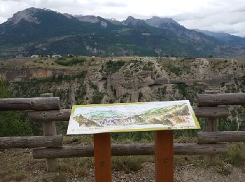
Stappen


• Sympathique et familiale.
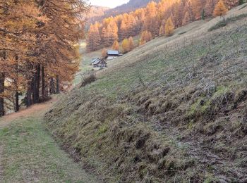
Stappen
Stappen
Sledehonden
Stappen
Stappen
Stappen
Stappen
Stappen

Wegfiets

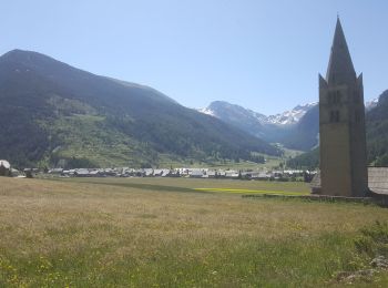
Te voet
• Trail created by Département des Hautes-Alpes.
Mountainbike
Noords wandelen
• avec Sylvie
Stappen

Trail
• Parcours créé sur Trace de Trail
Stappen

Stappen
Stappen
Te voet
Stappen
20 tochten weergegeven op 79
Gratisgps-wandelapplicatie
 SityTrail
IGN / Geografische instituten
SityTrail World
De wereld gaat voor u open