


7,7 km | 17,1 km-effort
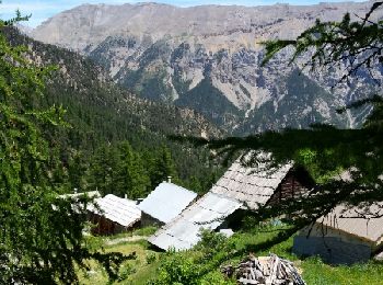
La Salle-les-Alpes: Ontdek de beste tochten: 40 te voet en 23 met de fiets of mountainbike. Al deze tochten, trajecten, routes en outdoor activiteiten zijn beschikbaar in onze SityTrail-apps voor smartphones en tablets.

Stappen


Stappen
Stappen
• beaux petits lacs

Stappen
Stappen
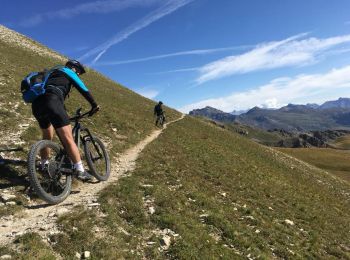
Mountainbike
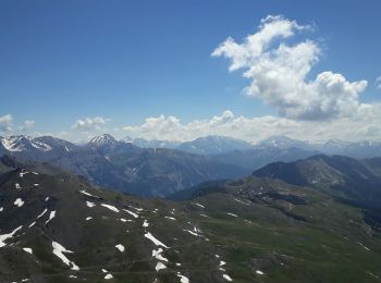
• les deux versants de la vallée
Mountainbike
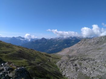
• tour du col du granon
Stappen
Stappen

Stappen
Stappen
Stappen
Stappen
Trail
Stappen
Stappen
Stappen
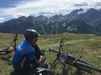
Mountainbike
Mountainbike
Stappen
20 tochten weergegeven op 67
Gratisgps-wandelapplicatie
 SityTrail
IGN / Geografische instituten
SityTrail World
De wereld gaat voor u open