


8,8 km | 12,4 km-effort
Châteauroux-les-Alpes: Ontdek de beste tochten: 63 te voet en 9 met de fiets of mountainbike. Al deze tochten, trajecten, routes en outdoor activiteiten zijn beschikbaar in onze SityTrail-apps voor smartphones en tablets.
Stappen


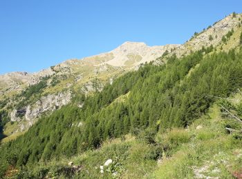
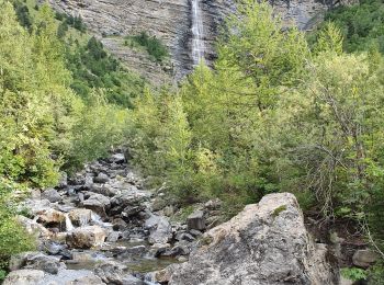
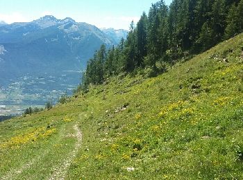
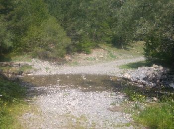
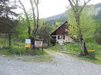
• randonnée familiale abritée dans les bois
Stappen
Stappen
Stappen
Stappen
Stappen
Stappen
Stappen
• ALTA-22-N°0408F42-GR653D
Stappen
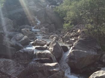
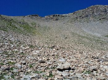
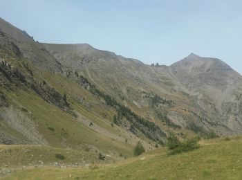
• Tété de Clotinaille, tout droit dans le clapier; descente idem : une tuerie!
Stappen
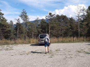
• remise en jambes
Stappen

Stappen

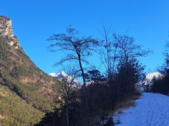
Ski randonnée
Stappen
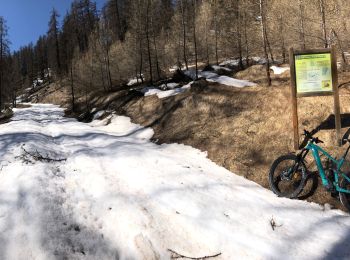
Mountainbike
Mountainbike
• circuit physique mais sans difficulté technique (sauf une petite montée) sinon très sympa comme circuit...
Stappen
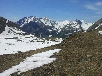
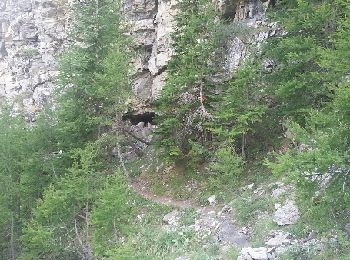
• la montée est raide! La descente vers la cabane du Tissap se fait dans les casses . Il faut franchir plusieurs barres...
Stappen
Stappen
Stappen
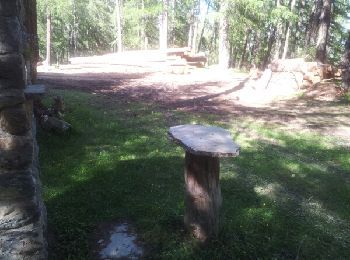
• c est une balade pas une rando. on peut manger au refuge. En été on évitera pas les voitures sur ma route de la ca...
20 tochten weergegeven op 79
Gratisgps-wandelapplicatie
 SityTrail
IGN / Geografische instituten
SityTrail World
De wereld gaat voor u open