


9,6 km | 17,9 km-effort
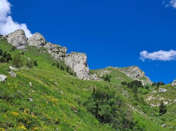
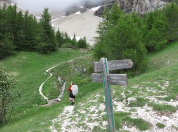
La Cluse: Ontdek de beste tochten: 29 te voet en 2 met de fiets of mountainbike. Al deze tochten, trajecten, routes en outdoor activiteiten zijn beschikbaar in onze SityTrail-apps voor smartphones en tablets.
Stappen


Stappen
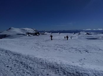
Ski randonnée
Ski randonnée
Stappen
Stappen
Ski randonnée
Stappen
Stappen
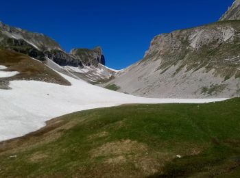
• village de Rabioux au village Les Sauvas par la fontaine du Vallon (cirque de Bure 1820m). Ilot de mélèzes au milieu ...
Stappen

Stappen

Sneeuwschoenen
Stappen
Stappen
• Descente depuis Le Chauvet via le Collet
Stappen
• difficile
Stappen

Noords wandelen
Stappen
Stappen
Stappen
20 tochten weergegeven op 43
Gratisgps-wandelapplicatie
 SityTrail
IGN / Geografische instituten
SityTrail World
De wereld gaat voor u open