


8,3 km | 14,9 km-effort
Saint-Sauveur: Ontdek de beste tochten: 20 te voet en 3 met de fiets of mountainbike. Al deze tochten, trajecten, routes en outdoor activiteiten zijn beschikbaar in onze SityTrail-apps voor smartphones en tablets.

Stappen


• La montée est raide avec une fille de 8 ans. Nous n'avons pas voulu poursuivre jusqu'au sommet. Une prochaine fois pe...

Sneeuwschoenen
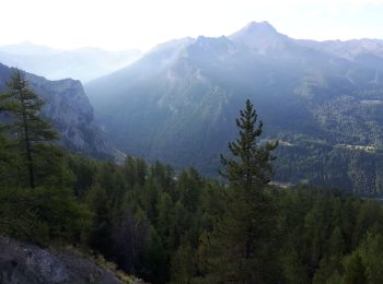
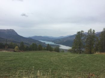
Stappen
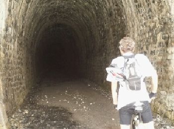
Mountainbike
•

Stappen
Stappen

Stappen

Stappen
• Avec Alphonse et Jean pierre

Ski randonnée

Stappen
Stappen

Sneeuwschoenen

Andere activiteiten
Andere activiteiten
Stappen
Stappen
Stappen
Stappen
Stappen

Wegfiets
20 tochten weergegeven op 28
Gratisgps-wandelapplicatie
 SityTrail
IGN / Geografische instituten
SityTrail World
De wereld gaat voor u open