


8,3 km | 11 km-effort
Saint-Bonnet-en-Champsaur: Ontdek de beste tochten: 6 te voet, 12 met de fiets of mountainbike en 1 te paard. Al deze tochten, trajecten, routes en outdoor activiteiten zijn beschikbaar in onze SityTrail-apps voor smartphones en tablets.
Stappen


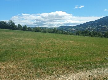
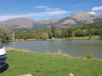
• Très variée routes chemins champs et sous bois, des montées et descentes mais pas mal de plats

Stappen
Mountainbike
Elektrische fiets
Elektrische fiets

Elektrische fiets

Stappen
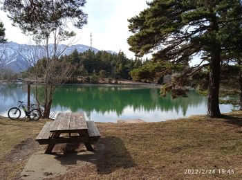
• Très variée routes chemins champs et sous bois, des montées et descentes mais pas mal de plats

Paard
Stappen

 23.951
sport
Elektrische fiets
Mountainbike
Wegfiets
Mountainbike
Mountainbike
Stappen
Mountainbike
Fiets
Fiets

Andere activiteiten
20 tochten weergegeven op 21
Gratisgps-wandelapplicatie
 SityTrail
IGN / Geografische instituten
SityTrail World
De wereld gaat voor u open