


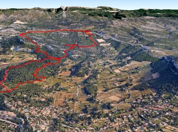
21 km | 26 km-effort
Cassis: Ontdek de beste tochten: 365 te voet en 60 met de fiets of mountainbike. Al deze tochten, trajecten, routes en outdoor activiteiten zijn beschikbaar in onze SityTrail-apps voor smartphones en tablets.
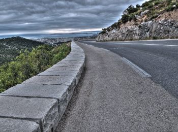
Wegfiets


Stappen
• grp_trc:

Stappen

Stappen
Stappen

Stappen
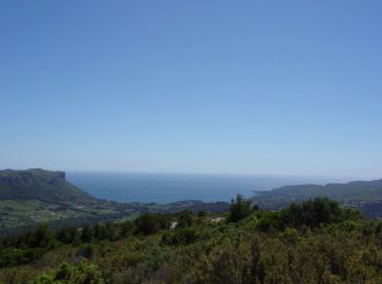
• Je vous propose une traversée des Calanques sur deux jours. 1er jour départ de port Miou jusqu'à Morgiou. Col l'Oule ...
Stappen
Stappen
Stappen
• Les rampides - Tunnel de Colongue - Baou redon - Mont Gibaou - Colongue
Stappen
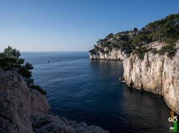
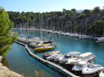
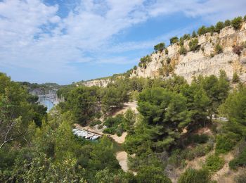
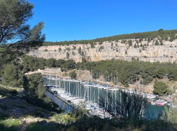
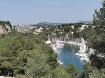
• Départ : Avenue des Calanques. La Calanque de Port Miou, "Bon Port" en Provençal, est un véritable abri naturel qui p...
Stappen
Stappen
Stappen
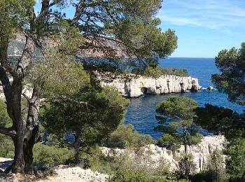
Te voet
Stappen
Stappen

Te voet
Stappen
Stappen
Stappen
20 tochten weergegeven op 457
Gratisgps-wandelapplicatie
 SityTrail
IGN / Geografische instituten
SityTrail World
De wereld gaat voor u open