


30 km | 40 km-effort
Cogolin: Ontdek de beste tochten: 25 te voet en 35 met de fiets of mountainbike. Al deze tochten, trajecten, routes en outdoor activiteiten zijn beschikbaar in onze SityTrail-apps voor smartphones en tablets.
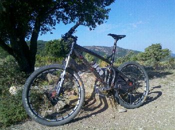
Mountainbike


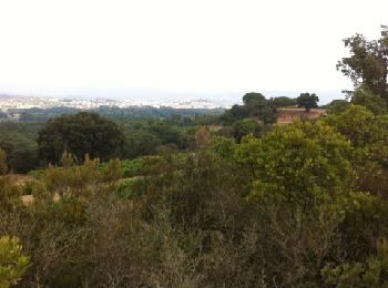
Stappen
• Randonnée en forme de \"huit\" pour bon marcheur 5h50 avec 50\' de pique-nique avant retour à 464m d\'altitude
Stappen

Mountainbike
Mountainbike
Stappen
Mountainbike
Lopen
• Endurance moyenne
Stappen
Stappen
Stappen
Stappen

Lopen
Fiets
Lopen
Mountainbike
Lopen
Mountainbike
Mountainbike
Stappen
20 tochten weergegeven op 60
Gratisgps-wandelapplicatie
 SityTrail
IGN / Geografische instituten
SityTrail World
De wereld gaat voor u open