


23 km | 38 km-effort
Ranspach: Ontdek de beste tochten: 40 te voet, 7 met de fiets of mountainbike en 2 te paard. Al deze tochten, trajecten, routes en outdoor activiteiten zijn beschikbaar in onze SityTrail-apps voor smartphones en tablets.
Stappen


Stappen
Stappen
Stappen
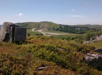
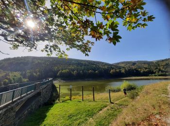
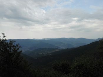
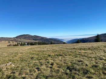
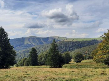
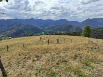
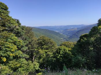
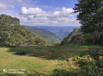
• Superbe randonnée en balcon de 17 km et 700 m de dénivelé avec de magnifiques panoramas.
Stappen
Fietstoerisme
Stappen
Stappen
Stappen

Stappen
Stappen
Stappen
Stappen
Stappen
Stappen
Stappen
Stappen
Stappen
Stappen

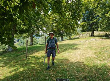
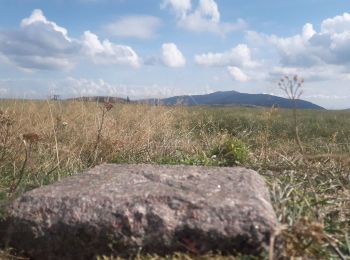
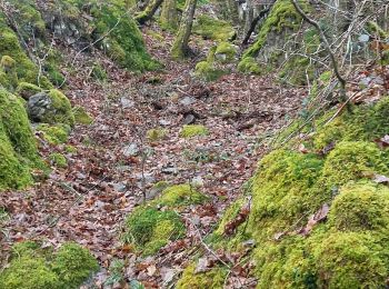
Te voet
20 tochten weergegeven op 49
Gratisgps-wandelapplicatie
 SityTrail
IGN / Geografische instituten
SityTrail World
De wereld gaat voor u open