


134 km | 257 km-effort
Willer-sur-Thur: Ontdek de beste tochten: 53 te voet, 4 met de fiets of mountainbike en 9 te paard. Al deze tochten, trajecten, routes en outdoor activiteiten zijn beschikbaar in onze SityTrail-apps voor smartphones en tablets.

Stappen


Stappen

Stappen

Te voet

Mountainbike
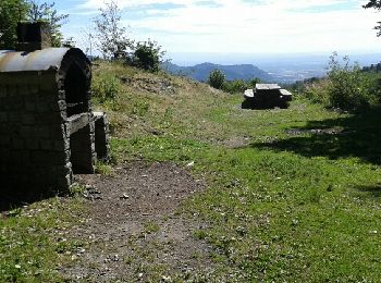
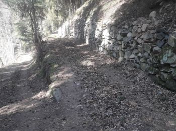
• Super chemins
Stappen
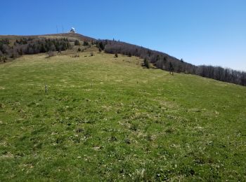
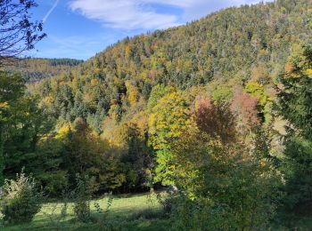
• montée et descente bien ombragée dans de magnifiques forêts mixtes (érable, Douglas, sapin, hêtre. ..).Chaumes bien o...

Paardrijden

Stappen

Stappen

Paardrijden
Stappen
Stappen
Stappen
Stappen
Stappen

Stappen
Stappen
Stappen
Stappen
Stappen
20 tochten weergegeven op 71
Gratisgps-wandelapplicatie
 SityTrail
IGN / Geografische instituten
SityTrail World
De wereld gaat voor u open