


25 km | 41 km-effort
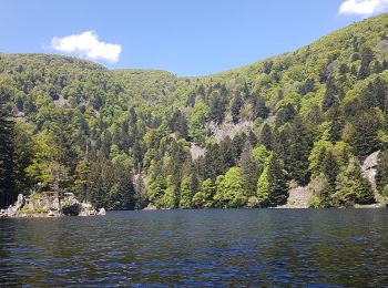
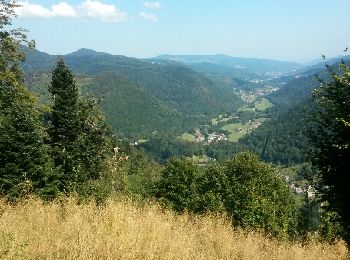
Mittlach: Ontdek de beste tochten: 78 te voet en 5 met de fiets of mountainbike. Al deze tochten, trajecten, routes en outdoor activiteiten zijn beschikbaar in onze SityTrail-apps voor smartphones en tablets.
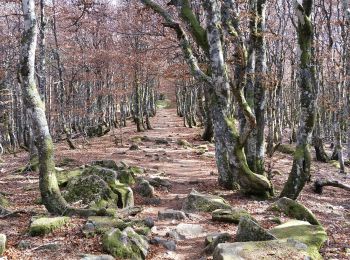
Stappen


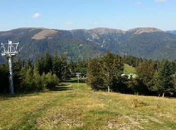
Stappen
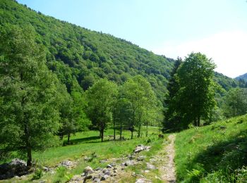
Stappen

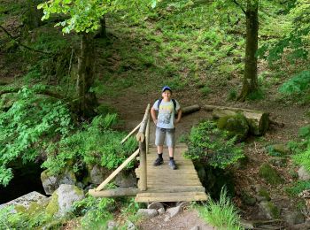
Stappen
Stappen
Mountainbike
Mountainbike
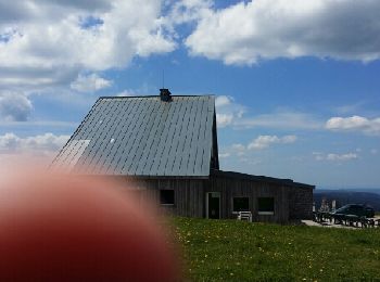
• Après une bonne montée de 7km, arrivée sur les crêtes. Jolie parcours avec des points de vue à 360°. Repas à la ferme...

Stappen
Stappen
Stappen
Ski randonnée
Stappen
Stappen
Stappen
Stappen
Mountainbike
• Après une montée assez dur de 7km, magnifique vue dégagée à 360° Possibilité de manger à la ferme-auberge Huss ou Ha...
Stappen
Stappen
• Détails de la rando sur TraceGPS.com http://www.tracegps.com/fr/parcours/circuit11182.htm
Stappen
Stappen
20 tochten weergegeven op 89
Gratisgps-wandelapplicatie
 SityTrail
IGN / Geografische instituten
SityTrail World
De wereld gaat voor u open