


20 km | 31 km-effort
Le Hohwald: Ontdek de beste tochten: 100 te voet, 4 met de fiets of mountainbike en 19 te paard. Al deze tochten, trajecten, routes en outdoor activiteiten zijn beschikbaar in onze SityTrail-apps voor smartphones en tablets.

Stappen


Stappen
Stappen
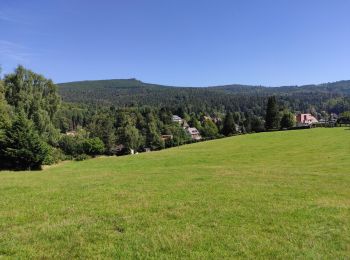
Te voet
Stappen
Stappen
Stappen
Stappen
Stappen

Stappen

Paardrijden
Stappen
Stappen
Stappen
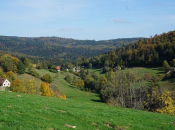
Te voet
Stappen
• Faite le 25/05/2017 avec notre fils Théo de 12 ans. D'après "Passion Vosges - Autour du Mont Sainte-Odile" N°25 : Par...

Stappen
• Très belle randonnée à faire de préférence en hiver ou au printemps pour profiter des points de vue. En été il y a de...
Stappen
Stappen
Stappen
•
20 tochten weergegeven op 134
Gratisgps-wandelapplicatie
 SityTrail
IGN / Geografische instituten
SityTrail World
De wereld gaat voor u open