


18,4 km | 26 km-effort
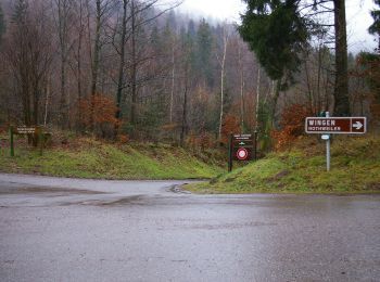
Wingen: Ontdek de beste tochten: 24 te voet, 1 met de fiets of mountainbike en 4 te paard. Al deze tochten, trajecten, routes en outdoor activiteiten zijn beschikbaar in onze SityTrail-apps voor smartphones en tablets.
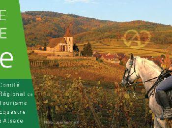
Paardrijden


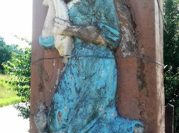
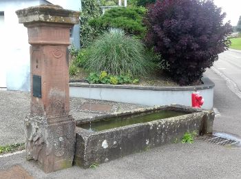
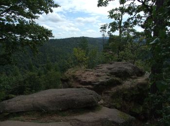
Te voet
• Trail created by Club Vosgien.
Te voet
• Trail created by Club Vosgien.
Te voet
• Trail created by Club Vosgien.
Te voet
• Trail created by Pfälzerwaldverein, Club Vosgien. Symbol: Rotes Kreuz

Stappen
• Belle rando dans les Vosges du nord. Terrain sablonneux, praticable en tout temps. Resto possible â l'Hotel Restaura...
Te voet
• Trail created by CLub Vosgien.

Stappen
• entre France et Allemagne
Stappen

Noords wandelen
Noords wandelen
Noords wandelen
Noords wandelen
Noords wandelen
Noords wandelen
Noords wandelen
Noords wandelen
Noords wandelen
Noords wandelen

Paard
20 tochten weergegeven op 29
Gratisgps-wandelapplicatie
 SityTrail
IGN / Geografische instituten
SityTrail World
De wereld gaat voor u open