


8,2 km | 21 km-effort
Abondance: Ontdek de beste tochten: 89 te voet en 9 met de fiets of mountainbike. Al deze tochten, trajecten, routes en outdoor activiteiten zijn beschikbaar in onze SityTrail-apps voor smartphones en tablets.
Stappen


Stappen
Stappen
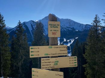
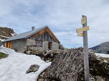
Te voet
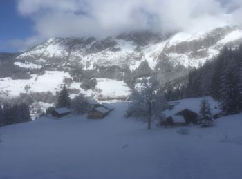
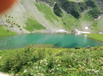
Sneeuwschoenen
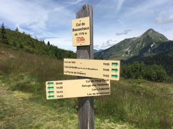
• Cf Sentiers raquettes Vallée d'Abondance : Abondance Versant forestier
Stappen
• Passages difficiles pdt 15 min
Stappen
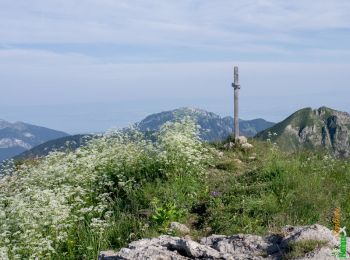
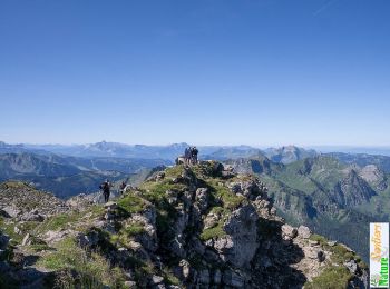
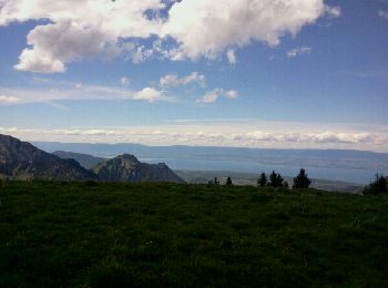
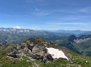
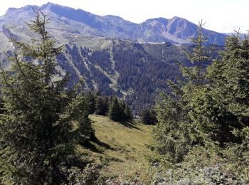
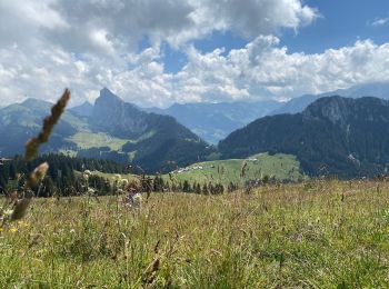
• Trés beau parcours avec vues à 360 degrés sur les Alpes Suisses et Françaises , aussi sur la vallée dAbondance . . .
Stappen
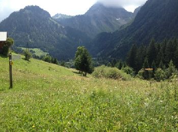
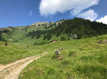
• Laisser la voiture au parking du Lac des Plagnes. Monter sur c jusqu'au Chalets de Lens. Attention: continuer à droit...

Stappen
 9.765
9.765
sport
Mountainbike
Stappen
Stappen
Stappen

Mountainbike
Stappen
Sneeuwschoenen
Stappen
Stappen
Stappen
20 tochten weergegeven op 118
Gratisgps-wandelapplicatie
 SityTrail
IGN / Geografische instituten
SityTrail World
De wereld gaat voor u open