


9,1 km | 24 km-effort
Le Bouchet-Mont-Charvin: Ontdek de beste tochten: 41 te voet en 1 met de fiets of mountainbike. Al deze tochten, trajecten, routes en outdoor activiteiten zijn beschikbaar in onze SityTrail-apps voor smartphones en tablets.
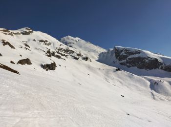
Ski randonnée


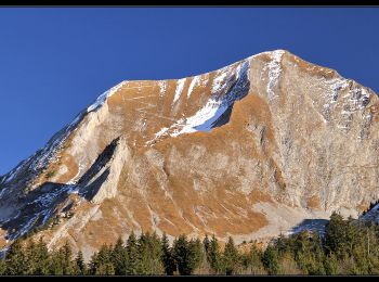
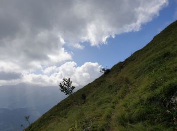
Stappen
Stappen
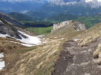
Stappen
Stappen
Mountainbike
Stappen
Stappen
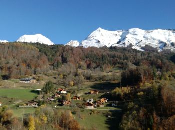
• Belle boucle traversant des paysages variés et offrant de beaux panoramas.
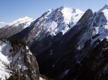
Ski randonnée
Stappen

Sneeuwschoenen
Stappen
Stappen
Sneeuwschoenen

Noords wandelen
Stappen
Stappen
Stappen
Stappen
Noords wandelen
• Circuit sous La Tulle
20 tochten weergegeven op 59
Gratisgps-wandelapplicatie
 SityTrail
IGN / Geografische instituten
SityTrail World
De wereld gaat voor u open