


11,1 km | 21 km-effort
Aime: Ontdek de beste tochten: 65 te voet en 14 met de fiets of mountainbike. Al deze tochten, trajecten, routes en outdoor activiteiten zijn beschikbaar in onze SityTrail-apps voor smartphones en tablets.
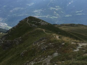
Te voet


• Trail created by Office de Tourisme de la Plagne.
Te voet
• Trail created by Office de Tourisme de la Plagne.
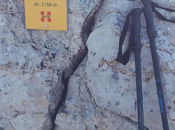
Stappen
Stappen
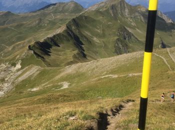
• Circuit par les cretes depuis La Combe, Roche a Jonathan, pte du col, Dzonfie, Pte de Bagnaz, Quermoz et retour a La ...
Stappen
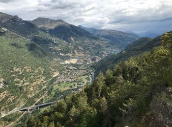
• Jarset, Jovet dre dans l'pentu, Becoin par les cretes et retour par Aime2000 et Les Frasses

Stappen
Mountainbike
Andere activiteiten
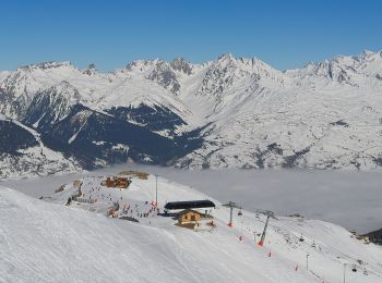
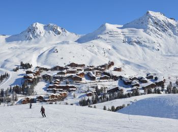
Wintersport

Mountainbike
Mountainbike

Ski randonnée
Elektrische fiets
Stappen
Ski randonnée
Mountainbike
Stappen
Stappen
Stappen
Stappen
20 tochten weergegeven op 107
Gratisgps-wandelapplicatie
 SityTrail
IGN / Geografische instituten
SityTrail World
De wereld gaat voor u open