


4 km | 6,2 km-effort
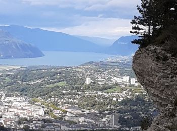
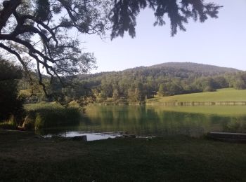
La Ravoire: Ontdek de beste tochten: 16 te voet en 12 met de fiets of mountainbike. Al deze tochten, trajecten, routes en outdoor activiteiten zijn beschikbaar in onze SityTrail-apps voor smartphones en tablets.
Stappen


Wegfiets
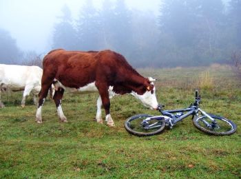
Mountainbike
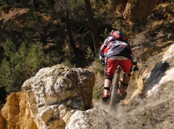
Mountainbike

Mountainbike

Mountainbike
Mountainbike

Mountainbike

Stappen
Mountainbike
• Par la Berte
Mountainbike
• Debut bitume puis forêt. 1h30 de montée très difficile
Wegfiets

Trail
Mountainbike
Stappen
Stappen
Stappen
Stappen
Stappen
Stappen
20 tochten weergegeven op 29
Gratisgps-wandelapplicatie
 SityTrail
IGN / Geografische instituten
SityTrail World
De wereld gaat voor u open