


10 km | 14 km-effort
Chanat-la-Mouteyre: Ontdek de beste tochten: 25 te voet en 4 met de fiets of mountainbike. Al deze tochten, trajecten, routes en outdoor activiteiten zijn beschikbaar in onze SityTrail-apps voor smartphones en tablets.
Stappen


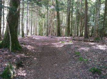
Te voet
• Trail created by CD63.
Stappen
Stappen
Stappen

Stappen
Stappen
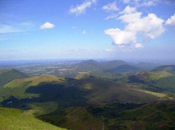
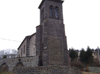
• Point de départ, place de l'église à Chanat la mouteyre. Jolie promenade avec un dénivelé important juste après Terna...

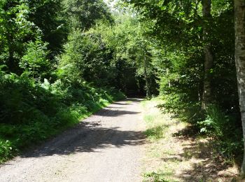
Mountainbike
Stappen
Stappen
Stappen
Stappen
Stappen

Stappen

Te voet
Stappen
Stappen
• Ref : Balirando
Stappen
Andere activiteiten
• départ cimetière de chanat la mouteyre

Mountainbike
20 tochten weergegeven op 28
Gratisgps-wandelapplicatie
 SityTrail
IGN / Geografische instituten
SityTrail World
De wereld gaat voor u open