


14,9 km | 19,8 km-effort
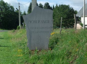
Picherande: Ontdek de beste tochten: 69 te voet, 6 met de fiets of mountainbike en 2 te paard. Al deze tochten, trajecten, routes en outdoor activiteiten zijn beschikbaar in onze SityTrail-apps voor smartphones en tablets.
Mountainbike


Te voet
• Trail created by CD63.
Te voet
• Trail created by CD63.
Stappen
Stappen

Stappen
4x4
Stappen
Stappen

Stappen
Stappen
• Lac et montagne Rando 3 page 55 du guide Chaminat

Stappen
Stappen
Stappen
Stappen
Stappen
Stappen

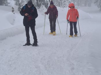
Sneeuwschoenen

Stappen
Stappen
20 tochten weergegeven op 96
Gratisgps-wandelapplicatie
 SityTrail
IGN / Geografische instituten
SityTrail World
De wereld gaat voor u open