


23 km | 42 km-effort
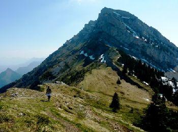
Saint-Nizier-du-Moucherotte: Ontdek de beste tochten: 137 te voet en 13 met de fiets of mountainbike. Al deze tochten, trajecten, routes en outdoor activiteiten zijn beschikbaar in onze SityTrail-apps voor smartphones en tablets.
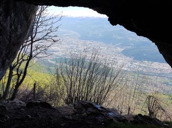
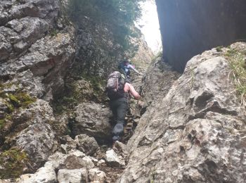
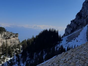
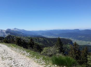
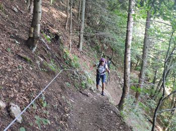
Stappen


Stappen
Stappen

Stappen
Stappen
Stappen
Stappen
Stappen
Stappen
Stappen
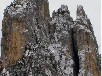
Noords wandelen
Noords wandelen

Stappen
Stappen
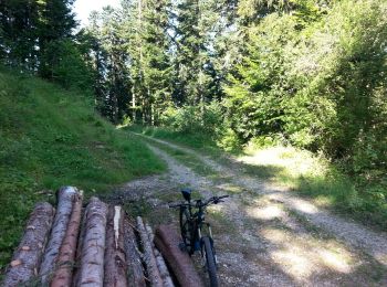
Mountainbike
• St Nizier - Lans à l'aller: 8.1 Km. Au retour reste 56 % de batterie, sans avoir spécialement cherché à économiser. A...
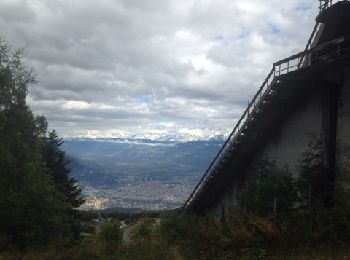
Stappen
•
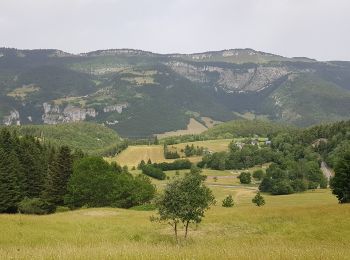
Sneeuwschoenen

Stappen
Noords wandelen
Stappen
20 tochten weergegeven op 163
Gratisgps-wandelapplicatie
 SityTrail
IGN / Geografische instituten
SityTrail World
De wereld gaat voor u open