


60 km | 71 km-effort
Roanne: Ontdek de beste tochten: 12 te voet en 40 met de fiets of mountainbike. Al deze tochten, trajecten, routes en outdoor activiteiten zijn beschikbaar in onze SityTrail-apps voor smartphones en tablets.

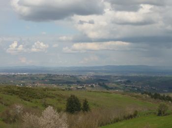
Mountainbike


• CHARLIEU (42190) Parking et départ du Couvent des Cordeliers sur la route de Saint-Nizier. Le parcours ne traverse pa...
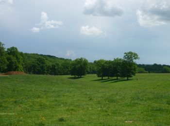
Mountainbike
Mountainbike
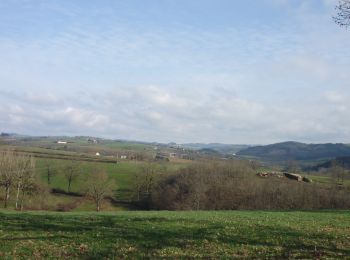
Mountainbike
Mountainbike
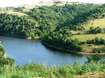
Mountainbike
Mountainbike
• Départ du parking du Cirra. Parcours réalisé en VTTAE
Mountainbike
Mountainbike
Mountainbike
Mountainbike
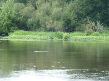
• Départ sous le pont d'Aiguilly rive droite. Il n'y a pas de difficultés particulières mais circuit gras et boueux pa...
Mountainbike
Mountainbike
Hybride fiets
Mountainbike
Mountainbike
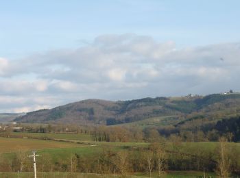
• Départ de la place de la Loire. Circuit réalisé en VTTAE
Mountainbike
Mountainbike
Mountainbike
Mountainbike
20 tochten weergegeven op 54
Gratisgps-wandelapplicatie
 SityTrail
IGN / Geografische instituten
SityTrail World
De wereld gaat voor u open