


28 km | 38 km-effort
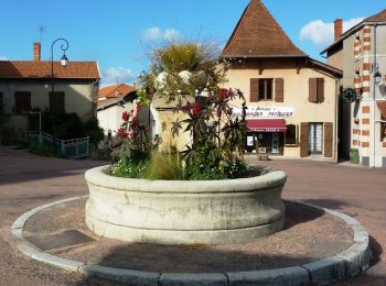
Ambierle: Ontdek de beste tochten: 7 te voet en 4 met de fiets of mountainbike. Al deze tochten, trajecten, routes en outdoor activiteiten zijn beschikbaar in onze SityTrail-apps voor smartphones en tablets.
Lopen


Mountainbike

Stappen

Mountainbike
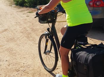
Hybride fiets

Stappen
Stappen
• Marche des ânes à Ambierle circuit des 12 Km

Te voet
Stappen

 22.728
sport
Mountainbike
Stappen
Andere activiteiten
13 tochten weergegeven op 13
Gratisgps-wandelapplicatie
 SityTrail
IGN / Geografische instituten
SityTrail World
De wereld gaat voor u open