


15 km | 21 km-effort
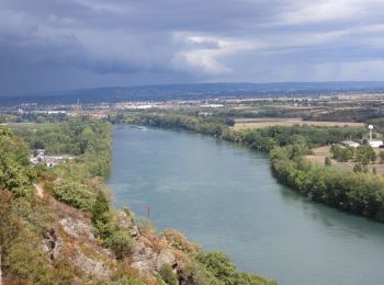
Sarras: Ontdek de beste tochten: 10 te voet en 11 met de fiets of mountainbike. Al deze tochten, trajecten, routes en outdoor activiteiten zijn beschikbaar in onze SityTrail-apps voor smartphones en tablets.

Stappen


• MJC. Rando agréable.

Mountainbike
Stappen
Wegfiets
Wegfiets
Fiets
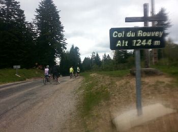
Mountainbike
• Rando 2016
Mountainbike
Mountainbike
Mountainbike
Mountainbike
• Sarras Raid du 18/03/2012 circuit 52Km
Mountainbike
• Sarras (07) le 18/03/2012 circuit 42 Km
Mountainbike

Stappen
Stappen
Stappen

 16.594
sport
18.933
sport
Stappen
14.21
sport
20 tochten weergegeven op 24
Gratisgps-wandelapplicatie
 SityTrail
IGN / Geografische instituten
SityTrail World
De wereld gaat voor u open