


12,3 km | 14,1 km-effort
Lognes: Ontdek de beste tochten: 85 te voet en 2 met de fiets of mountainbike. Al deze tochten, trajecten, routes en outdoor activiteiten zijn beschikbaar in onze SityTrail-apps voor smartphones en tablets.

Stappen


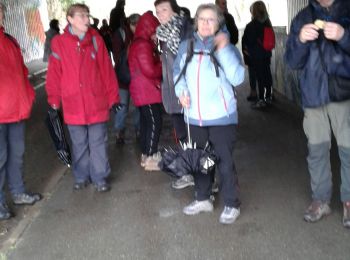
• Randonnée conçue pour la manifestation EvadRando avec des étapes à Lognes et Champs-sur Marne
Stappen
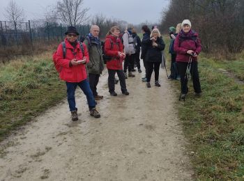
• Randonnée conçue à l'occasion d'Evad'Rando 2023 de 15.4km qui se tiendra le 15 octobre 2023
Stappen

Stappen

Stappen
Stappen

Stappen
Stappen
Stappen
Stappen
Stappen
Stappen
Stappen
• Evad'Rando 2024 Circuit "Handi" de 5,5 Km: Circuit de 4.8 km majoritairement dans les bois
Stappen
Stappen
Stappen

 15.359
sport
• Randonnée conçue à l'occasion d'Evad'Rando 2023 de 15.4km qui se tiendra le 15 octobre 2023
Stappen
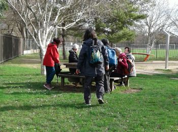
• le tours des étangs en partant de la gare RER de Lognes
Stappen
Stappen
20 tochten weergegeven op 93
Gratisgps-wandelapplicatie
 SityTrail
IGN / Geografische instituten
SityTrail World
De wereld gaat voor u open